UN/LOCODE hub · United Kingdom
GBTOB
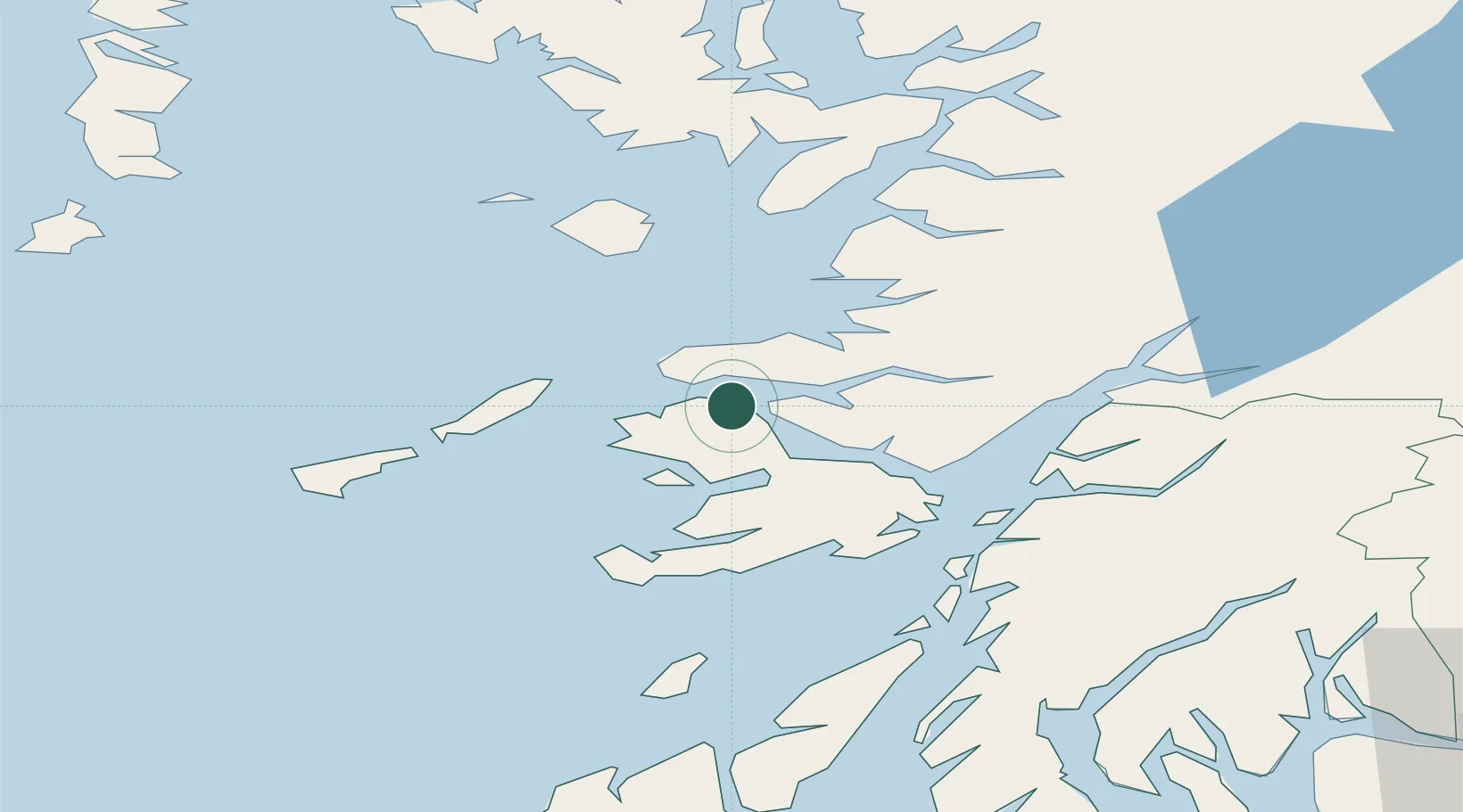
Tobermory
56.6333°, -6.0833°
1,010
Population
1
Transport functions
Transport Functions
Port
Hub Profile
Place type
Populated place
Region
Scotland
Population
1,010
Time zone
Europe/London
Elevation
44 m
Location
Nearby Logistics Neighbours
Cities
- 1Ardnamurchan6 km
- 2Kilchoan8 km
- 3Ulva Ferry17 km
- 4Salen20 km
- 5Lochaline22 km
Airports
- 1Coll Airport33 km
- 2Oban Airport46 km
- 3Tiree Airport50 km
- 4Colonsay Airstrip65 km
- 5Barra Airport93 km
Trade Zones
DatabookThe Record of Consolidated Knowledge
United Kingdom beyond logistics?