UN/LOCODE hub · United Kingdom
GBLOL

Lochaline

56.5333°, -5.7833°
1
Transport functions

Transport Functions

Port
Lochaline is also a profiled seaport →
UN/LOCODE

Hub Profile

Place type
Populated place
GeoNames
Region
Scotland
GeoNames
Time zone
Europe/London
GeoNames
Elevation
16 m
GeoNames

Location

Location of GBLOL
Natural Earth 10m (public domain) · Scotland · GBLOL · 56.53, -5.78GoogleOSMYandex

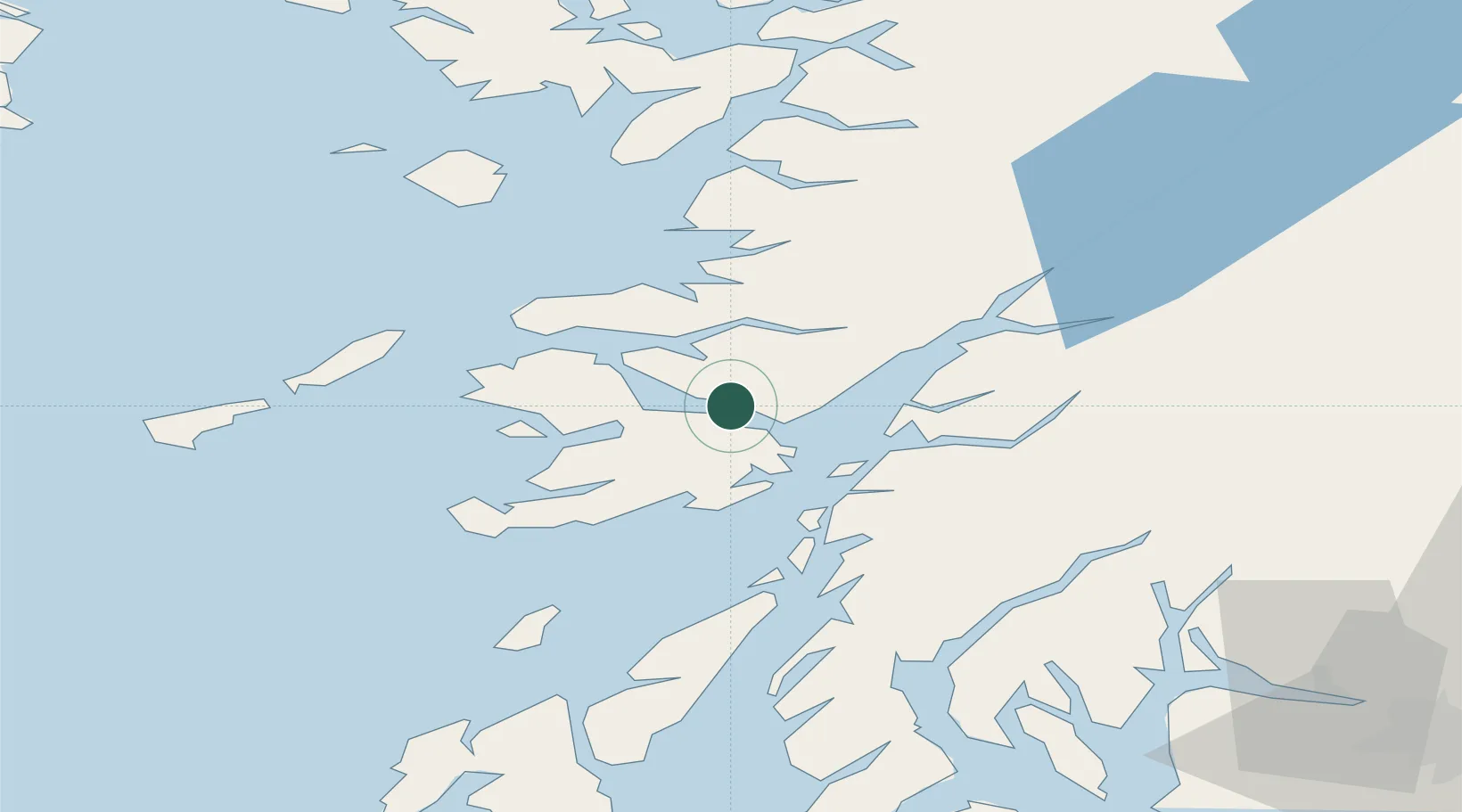
Nearby Logistics Neighbours

Cities
  1. 1Fishnish, Isle of Mull4 km
  2. 2Craignure9 km
  3. 3Glensanda15 km
  4. 4Lismore Island15 km
  5. 5Salen19 km
Nearest neighbours — logibook spatial index (haversine) over the source coordinates
Ports
  1. 1Craignure9 km
  2. 2Glensanda16 km
  3. 3Tobermory20 km
  4. 4Oban23 km
  5. 5Fort William52 km
Nearest neighbours — logibook spatial index (haversine) over the source coordinates
Airports
  1. 1Oban Airport25 km
  2. 2Coll Airport52 km
  3. 3Colonsay Airstrip60 km
  4. 4Tiree Airport67 km
  5. 5Islay Airport99 km
Nearest neighbours — logibook spatial index (haversine) over the source coordinates
Trade Zones
  1. 1Prestwick Airport Free Zone135 km
  2. 2Carlisle Kingmoor Park Enterprise Zone250 km
  3. 3Isle of Man Free Zone and Business Park281 km
  4. 4North Eastern Enterprise Zone313 km
  5. 5Blackpool Enterprise Zone353 km
Nearest neighbours — logibook spatial index (haversine) over the source coordinates
DatabookThe Record of Consolidated Knowledge
United Kingdom beyond logistics?
Browse databook

All Sources

LocationsUN/LOCODE
UN/LOCODE — free
Portsthe NGA World Port Index
Public domain (US gov)
AirportsOurAirports
Public domain
Trade Zonesthe World Bank SEZ database
CC BY 4.0
Trade ZonesOpen Zone Map
CC BY
← United Kingdom locations