Transport Functions
Port
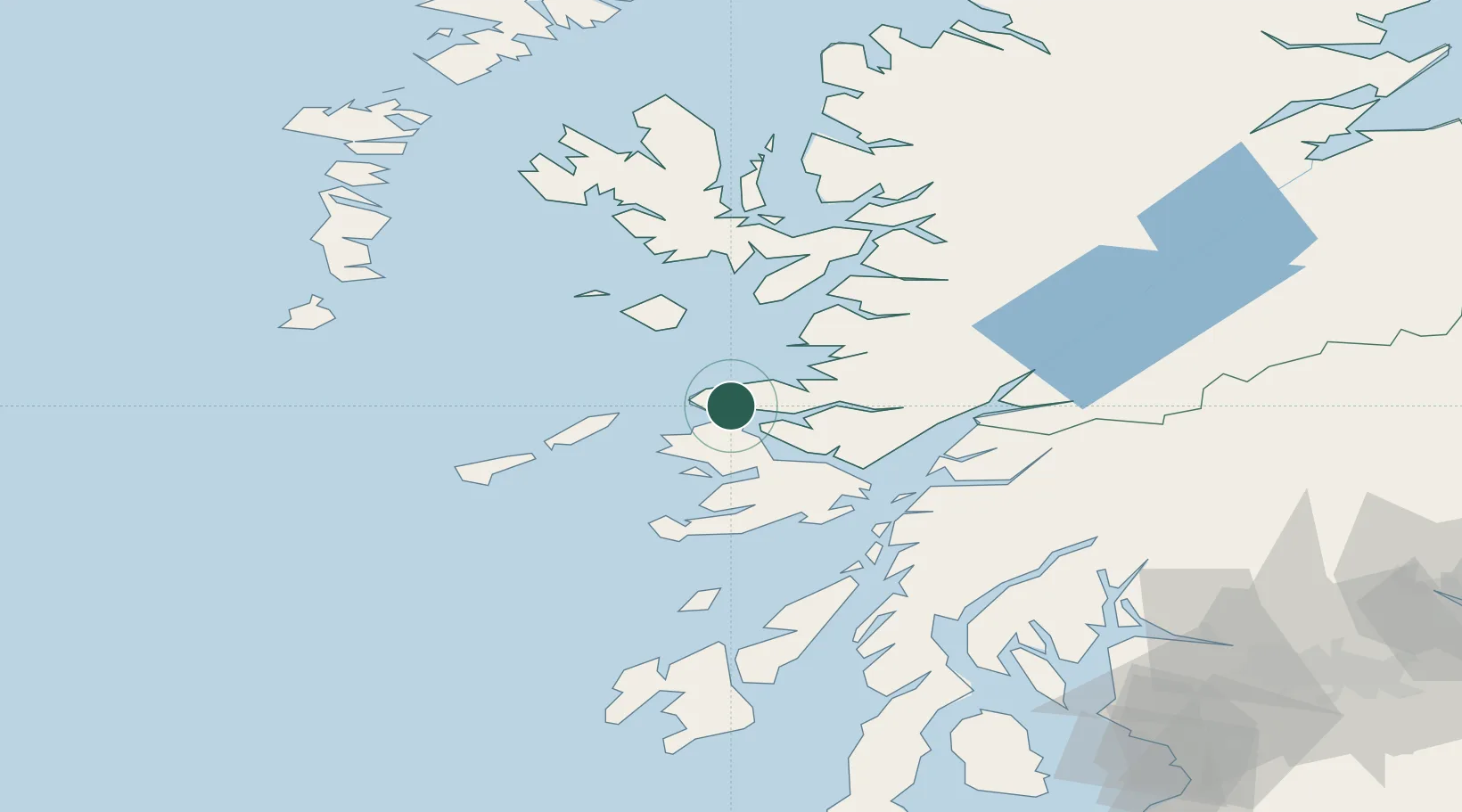
Hub Profile
Place type
Populated place
Region
Scotland
Population
150
Time zone
Europe/London
Elevation
5 m
Location
Nearby Logistics Neighbours
Cities
- 1Ardnamurchan2 km
- 2Tobermory8 km
- 3Port Mor, Muck17 km
- 4Salen19 km
- 5Galmisdale, Eigg21 km
Airports
- 1Coll Airport34 km
- 2Oban Airport50 km
- 3Tiree Airport52 km
- 4Colonsay Airstrip72 km
- 5Barra Airport89 km
Trade Zones
DatabookThe Record of Consolidated Knowledge
United Kingdom beyond logistics?