UN/LOCODE hub · United Kingdom
GBULF

Ulva Ferry

56.4833°, -6.1333°
1
Transport functions

Transport Functions

Port
UN/LOCODE

Hub Profile

Region
AGB
GeoNames

Location

Location of GBULF
Natural Earth 10m (public domain) · AGB · GBULF · 56.48, -6.13GoogleOSMYandex

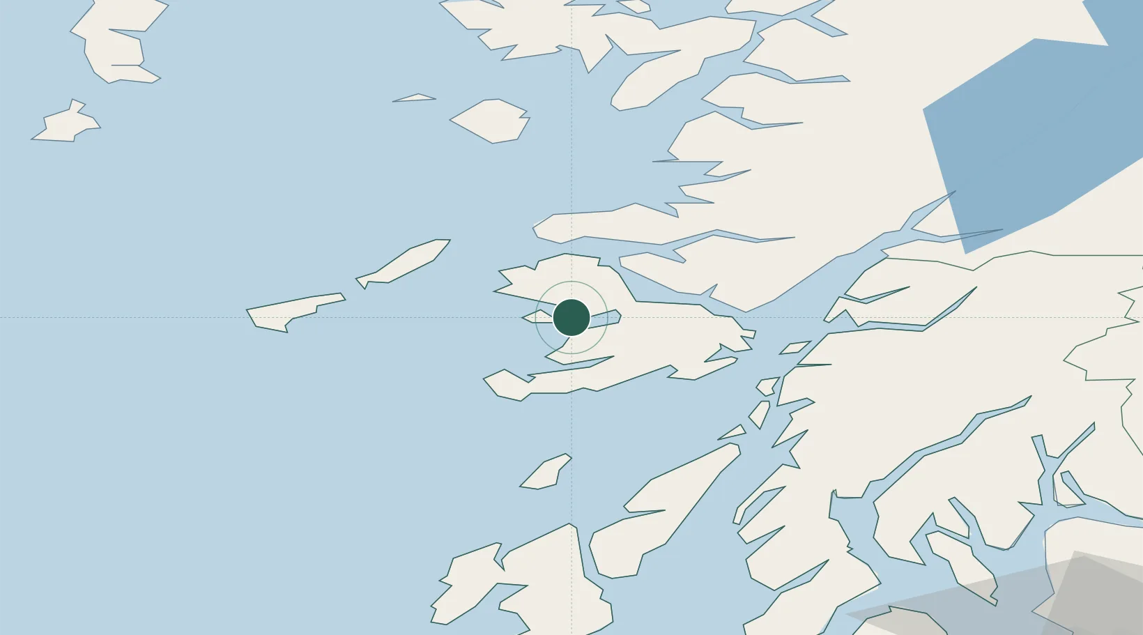
Nearby Logistics Neighbours

Cities
  1. 1Tobermory17 km
  2. 2Loch Scridain (Isle Mull)17 km
  3. 3Bunessan20 km
  4. 4Fishnish, Isle of Mull21 km
  5. 5Lochaline22 km
Nearest neighbours — logibook spatial index (haversine) over the source coordinates
Ports
  1. 1Tobermory15 km
  2. 2Lochaline24 km
  3. 3Craignure27 km
  4. 4Glensanda38 km
  5. 5Oban42 km
Nearest neighbours — logibook spatial index (haversine) over the source coordinates
Airports
  1. 1Coll Airport33 km
  2. 2Oban Airport45 km
  3. 3Tiree Airport45 km
  4. 4Colonsay Airstrip48 km
  5. 5Islay Airport89 km
Nearest neighbours — logibook spatial index (haversine) over the source coordinates
Trade Zones
  1. 1Prestwick Airport Free Zone144 km
  2. 2Carlisle Kingmoor Park Enterprise Zone263 km
  3. 3Isle of Man Free Zone and Business Park283 km
  4. 4Dublin International Financial Services Centre349 km
  5. 5Blackpool Enterprise Zone360 km
Nearest neighbours — logibook spatial index (haversine) over the source coordinates
DatabookThe Record of Consolidated Knowledge
United Kingdom beyond logistics?
Browse databook

All Sources

LocationsUN/LOCODE
UN/LOCODE — free
Portsthe NGA World Port Index
Public domain (US gov)
AirportsOurAirports
Public domain
Trade Zonesthe World Bank SEZ database
CC BY 4.0
Trade ZonesOpen Zone Map
CC BY
← United Kingdom locations