UN/LOCODE hub · United Kingdom
GBAMN

Ardnamurchan

56.6833°, -6.0833°
1
Transport functions

Transport Functions

Port
UN/LOCODE

Hub Profile

Region
HLD
GeoNames

Location

Location of GBAMN
Natural Earth 10m (public domain) · HLD · GBAMN · 56.68, -6.08GoogleOSMYandex

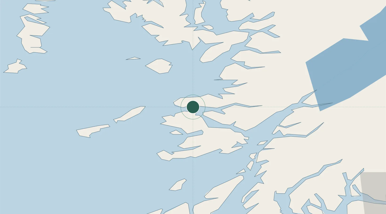
Nearby Logistics Neighbours

Cities
  1. 1Kilchoan2 km
  2. 2Tobermory6 km
  3. 3Salen18 km
  4. 4Port Mor, Muck19 km
  5. 5Galmisdale, Eigg22 km
Nearest neighbours — logibook spatial index (haversine) over the source coordinates
Ports
  1. 1Tobermory8 km
  2. 2Lochaline24 km
  3. 3Craignure34 km
  4. 4Glensanda36 km
  5. 5Mallaig39 km
Nearest neighbours — logibook spatial index (haversine) over the source coordinates
Airports
  1. 1Coll Airport34 km
  2. 2Oban Airport49 km
  3. 3Tiree Airport52 km
  4. 4Colonsay Airstrip70 km
  5. 5Barra Airport91 km
Nearest neighbours — logibook spatial index (haversine) over the source coordinates
Trade Zones
  1. 1Prestwick Airport Free Zone159 km
  2. 2Carlisle Kingmoor Park Enterprise Zone275 km
  3. 3Isle of Man Free Zone and Business Park303 km
  4. 4Dublin International Financial Services Centre371 km
  5. 5Blackpool Enterprise Zone377 km
Nearest neighbours — logibook spatial index (haversine) over the source coordinates
DatabookThe Record of Consolidated Knowledge
United Kingdom beyond logistics?
Browse databook

All Sources

LocationsUN/LOCODE
UN/LOCODE — free
Portsthe NGA World Port Index
Public domain (US gov)
AirportsOurAirports
Public domain
Trade Zonesthe World Bank SEZ database
CC BY 4.0
Trade ZonesOpen Zone Map
CC BY
← United Kingdom locations