Transport Functions
Port
Hub Profile
Place type
Populated place
Region
Scotland
Time zone
Europe/London
Elevation
60 m
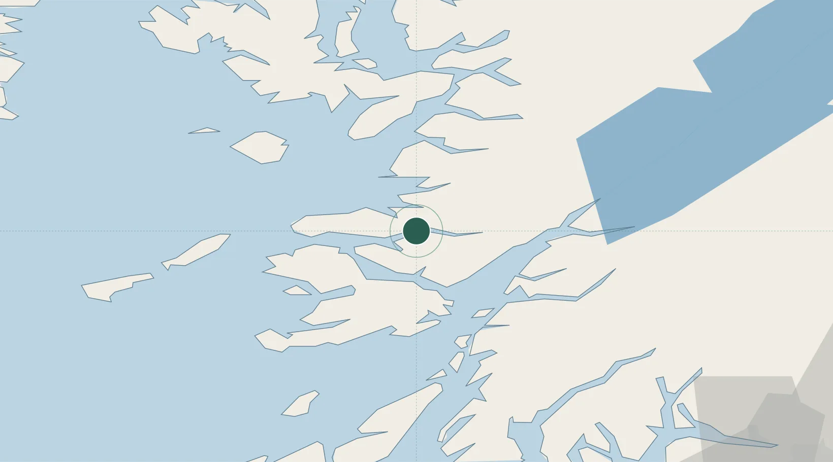
Location
Nearby Logistics Neighbours
Cities
- 1Glenuig15 km
- 2Ardnamurchan18 km
- 3Lochaline19 km
- 4Kilchoan19 km
- 5Tobermory20 km
Airports
- 1Oban Airport35 km
- 2Coll Airport52 km
- 3Tiree Airport70 km
- 4Colonsay Airstrip77 km
- 5Barra Airport107 km
Trade Zones
DatabookThe Record of Consolidated Knowledge
United Kingdom beyond logistics?