Transport Functions
Road
Multimodal
Hub Profile
Place type
Populated place
Region
England
Population
2,421
Time zone
Europe/London
Elevation
40 m
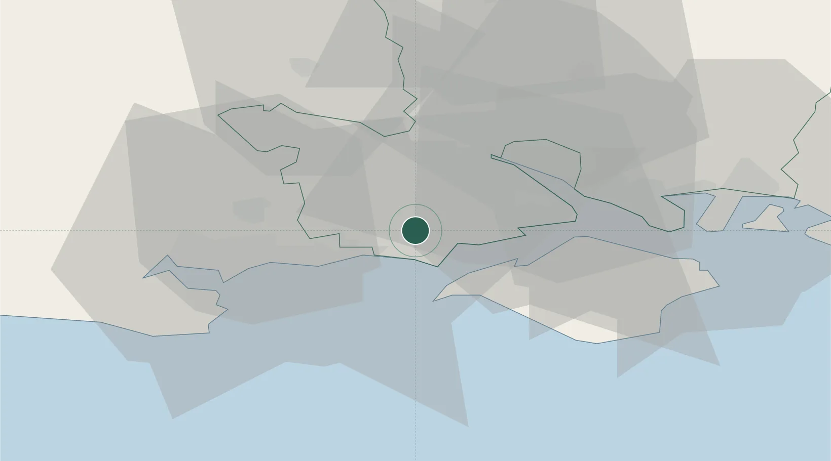
Location
Nearby Logistics Neighbours
Cities
- 1Barton on Sea7 km
- 2Milford-on-Sea8 km
- 3Keyhaven8 km
- 4Yarmouth12 km
- 5Christchurch12 km
Ports
- 1Yarmouth Harbour12 km
- 2Fawley Marine Terminal19 km
- 3Southampton19 km
- 4Cowes Harbour21 km
- 5Poole Harbour27 km
Airports
- 1Bournemouth Airport17 km
- 2Southampton Airport25 km
- 3MoD Boscombe Down42 km
- 4Lasham Airfield60 km
- 5RAF Odiham68 km
Trade Zones
DatabookThe Record of Consolidated Knowledge
United Kingdom beyond logistics?