Transport Functions
Port
Hub Profile
Place type
Populated place
Region
England
Time zone
Europe/London
Elevation
2 m
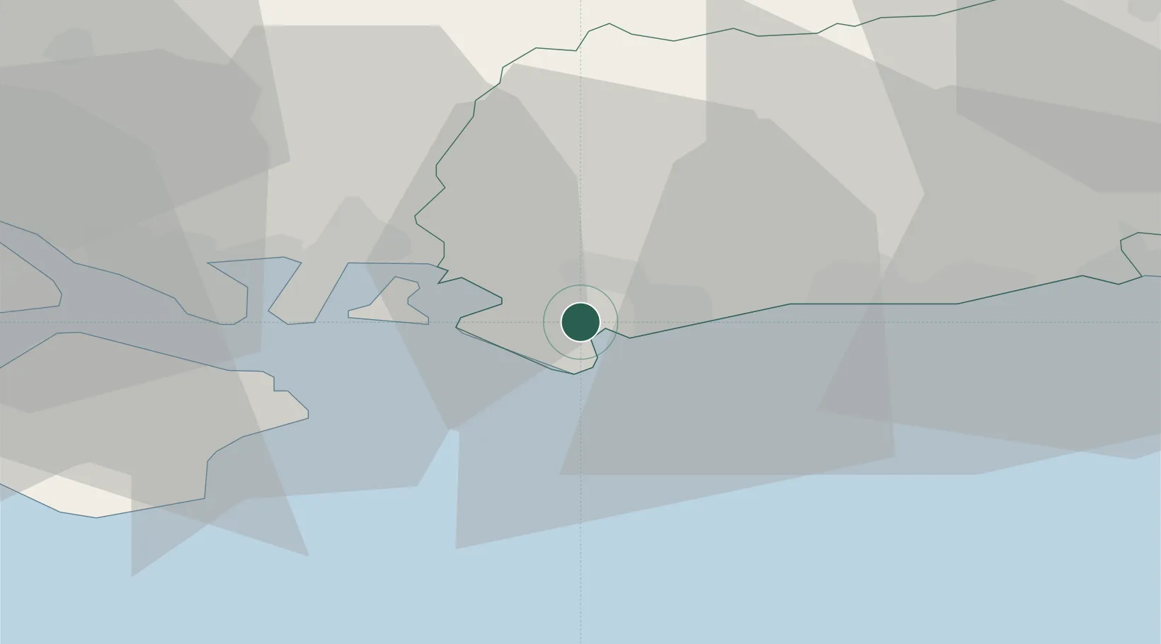
Location
Nearby Logistics Neighbours
Cities
- 1Chichester5 km
- 2Selsey6 km
- 3Bosham7 km
- 4Bognor Regis7 km
- 5East Wittering7 km
Ports
- 1Littlehampton Harbour18 km
- 2Portsmouth Harbour22 km
- 3Cowes Harbour36 km
- 4Shoreham Harbour38 km
- 5Fawley Marine Terminal39 km
Airports
- 1Brighton City Airport35 km
- 2Southampton Airport44 km
- 3Lasham Airfield48 km
- 4RAF Odiham51 km
- 5Farnborough Airport55 km
Trade Zones
DatabookThe Record of Consolidated Knowledge
United Kingdom beyond logistics?