UN/LOCODE hub · United Kingdom
GBCST
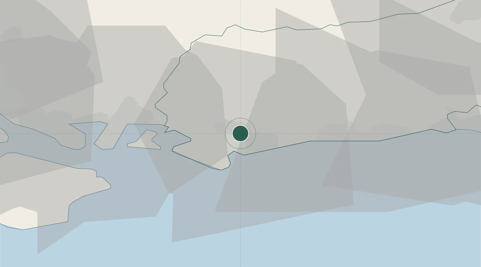
Chichester
50.8206°, -0.7416°
31,654
Population
3
Transport functions
Transport Functions
Port
Rail
Road
Hub Profile
Place type
Provincial seat
Region
England
Population
31,654
Time zone
Europe/London
Elevation
20 m
Logistics facilities
1
Location
Nearby Logistics Neighbours
Cities
- 1Sidlesham5 km
- 2Bognor Regis6 km
- 3Bosham9 km
- 4Yapton10 km
- 5Selsey11 km
Ports
- 1Littlehampton Harbour15 km
- 2Portsmouth Harbour25 km
- 3Shoreham Harbour35 km
- 4Cowes Harbour40 km
- 5Fawley Marine Terminal42 km
Airports
- 1Brighton City Airport31 km
- 2Southampton Airport46 km
- 3Lasham Airfield46 km
- 4RAF Odiham48 km
- 5Farnborough Airport51 km
Trade Zones
DatabookThe Record of Consolidated Knowledge
United Kingdom beyond logistics?