Transport Functions
Port
Hub Profile
Place type
Populated place
Region
England
Population
2,623
Time zone
Europe/London
Elevation
5 m
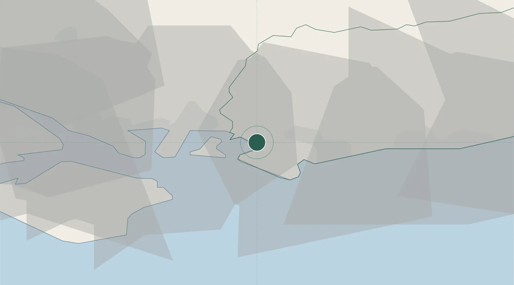
Location
Nearby Logistics Neighbours
Cities
- 1East Wittering6 km
- 2West Wittering6 km
- 3Sidlesham7 km
- 4South Hayling8 km
- 5Hayling Island8 km
Ports
- 1Portsmouth Harbour17 km
- 2Littlehampton Harbour24 km
- 3Cowes Harbour31 km
- 4Fawley Marine Terminal33 km
- 5Southampton39 km
Airports
- 1Southampton Airport38 km
- 2Brighton City Airport40 km
- 3Lasham Airfield43 km
- 4RAF Odiham47 km
- 5Farnborough Airport51 km
Trade Zones
DatabookThe Record of Consolidated Knowledge
United Kingdom beyond logistics?