UN/LOCODE hub · United Kingdom
GBEWT
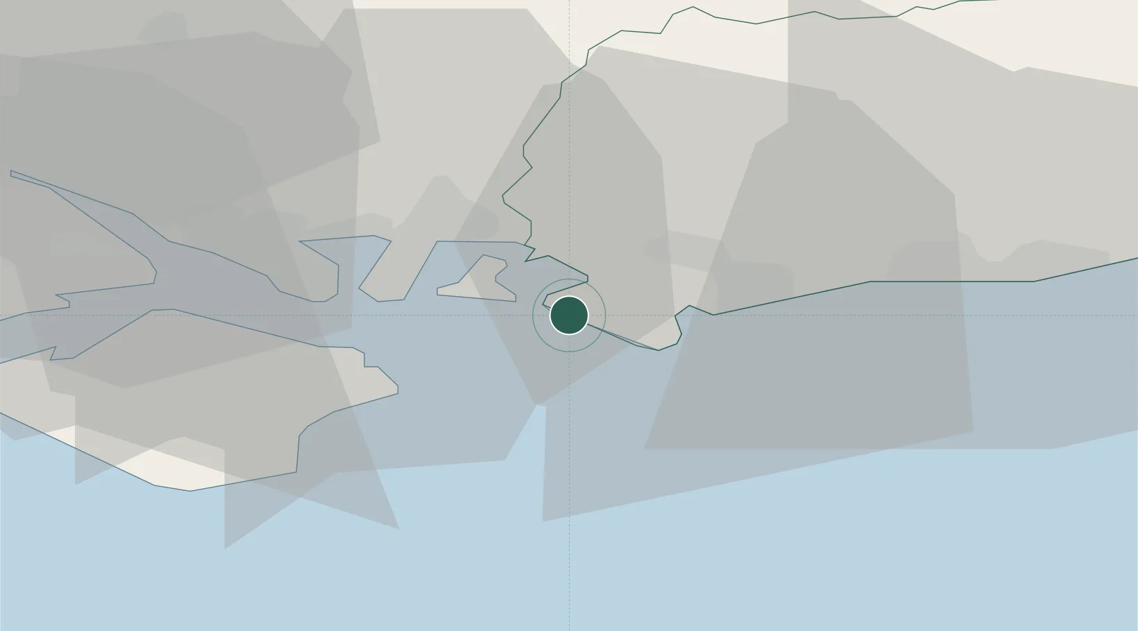
East Wittering
50.7667°, -0.8833°
5,647
Population
1
Transport functions
Transport Functions
Port
Hub Profile
Place type
Populated place
Region
England
Population
5,647
Time zone
Europe/London
Elevation
3 m
Location
Nearby Logistics Neighbours
Cities
- 1West Wittering1 km
- 2Bosham6 km
- 3South Hayling6 km
- 4Selsey7 km
- 5Sidlesham7 km
Ports
- 1Portsmouth Harbour16 km
- 2Littlehampton Harbour25 km
- 3Cowes Harbour29 km
- 4Fawley Marine Terminal32 km
- 5Southampton39 km
Airports
- 1Southampton Airport39 km
- 2Brighton City Airport42 km
- 3Lasham Airfield48 km
- 4RAF Odiham52 km
- 5Farnborough Airport57 km
Trade Zones
DatabookThe Record of Consolidated Knowledge
United Kingdom beyond logistics?