UN/LOCODE hub · United Kingdom
GBUNS

Bunessan

56.3167°, -6.2333°
1
Transport functions

Transport Functions

Port
UN/LOCODE

Hub Profile

Place type
Populated place
GeoNames
Region
Scotland
GeoNames
Time zone
Europe/London
GeoNames
Elevation
7 m
GeoNames

Location

Location of GBUNS
Natural Earth 10m (public domain) · Scotland · GBUNS · 56.32, -6.23GoogleOSMYandex

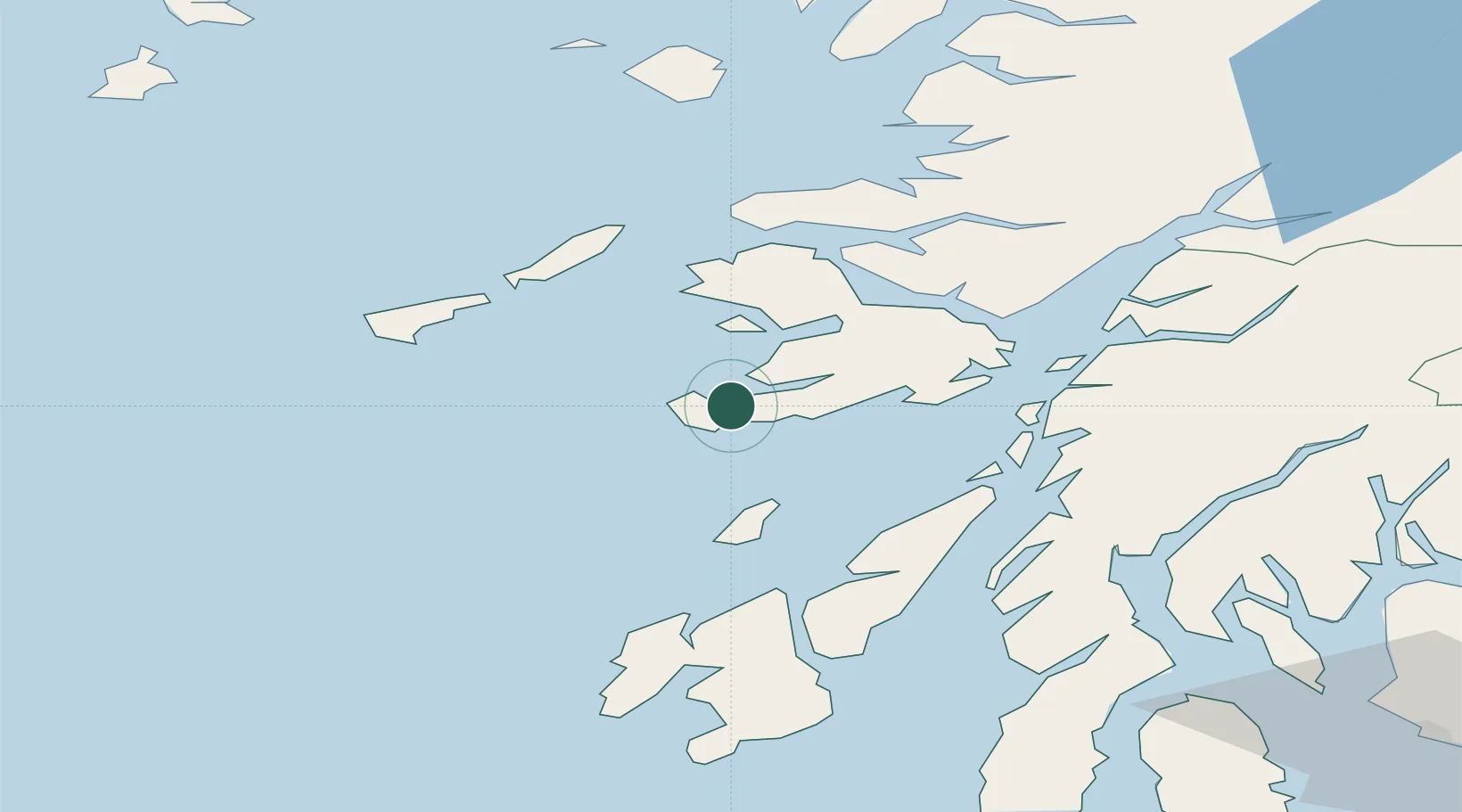
Nearby Logistics Neighbours

Cities
  1. 1Loch Scridain (Isle Mull)4 km
  2. 2Fionnphort, Isle of Mull8 km
  3. 3Baile Mor, Iona10 km
  4. 4Ulva Ferry20 km
  5. 5Loch Buie (Mull)21 km
Nearest neighbours — logibook spatial index (haversine) over the source coordinates
Ports
  1. 1Tobermory35 km
  2. 2Craignure37 km
  3. 3Lochaline39 km
  4. 4Oban49 km
  5. 5Crinan (Canal)49 km
Nearest neighbours — logibook spatial index (haversine) over the source coordinates
Airports
  1. 1Colonsay Airstrip29 km
  2. 2Coll Airport40 km
  3. 3Tiree Airport44 km
  4. 4Oban Airport54 km
  5. 5Islay Airport71 km
Nearest neighbours — logibook spatial index (haversine) over the source coordinates
Trade Zones
  1. 1Prestwick Airport Free Zone135 km
  2. 2Carlisle Kingmoor Park Enterprise Zone256 km
  3. 3Isle of Man Free Zone and Business Park268 km
  4. 4Dublin International Financial Services Centre330 km
  5. 5Blackpool Enterprise Zone349 km
Nearest neighbours — logibook spatial index (haversine) over the source coordinates
DatabookThe Record of Consolidated Knowledge
United Kingdom beyond logistics?
Browse databook

All Sources

LocationsUN/LOCODE
UN/LOCODE — free
Portsthe NGA World Port Index
Public domain (US gov)
AirportsOurAirports
Public domain
Trade Zonesthe World Bank SEZ database
CC BY 4.0
Trade ZonesOpen Zone Map
CC BY
← United Kingdom locations