UN/LOCODE hub · United Kingdom
GBRUM
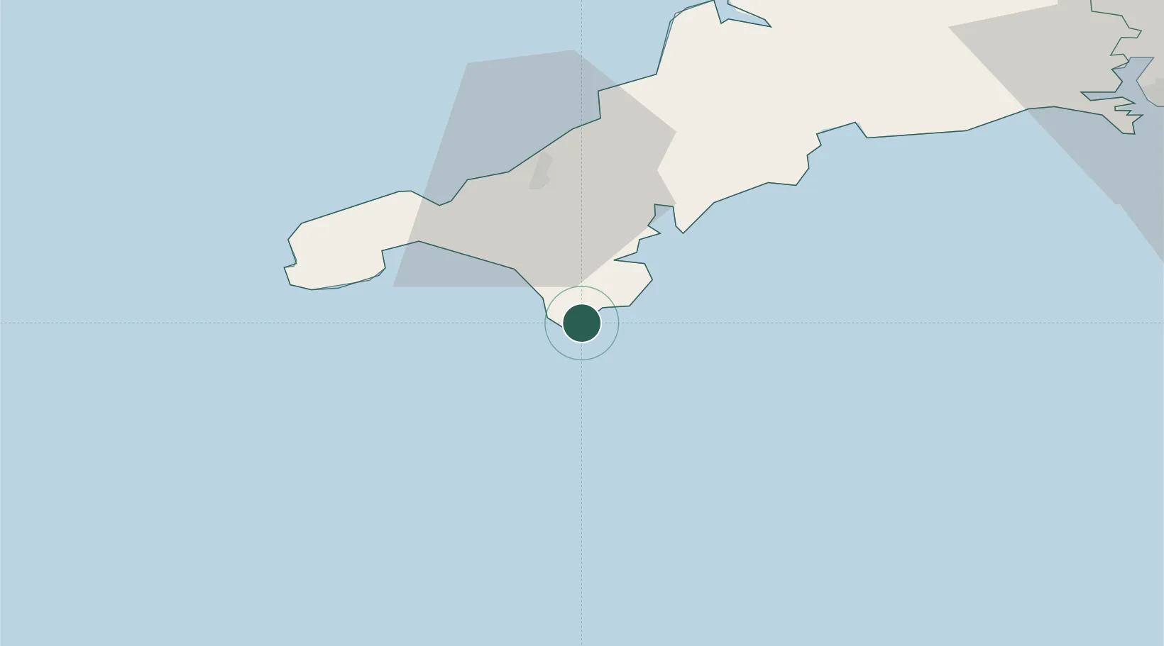
Ruan Minor
49.9833°, -5.1833°
558
Population
1
Transport functions
Transport Functions
Port
Hub Profile
Place type
Populated place
Region
England
Population
558
Time zone
Europe/London
Elevation
62 m
Location
Nearby Logistics Neighbours
Cities
- 1Cadgwith1 km
- 2Mullion7 km
- 3Saint Keverne10 km
- 4Porthoustock11 km
- 5Helford River11 km
Ports
- 1Falmouth Harbour20 km
- 2Hayle28 km
- 3Penzance29 km
- 4Newlyn29 km
- 5Mevagissey43 km
Airports
- 1RNAS Culdrose13 km
- 2Penzance Heliport29 km
- 3Land's End Airport37 km
- 4Cornwall Airport Newquay53 km
- 5St. Mary's Airport80 km
Trade Zones
DatabookThe Record of Consolidated Knowledge
United Kingdom beyond logistics?