Transport Functions
Rail
Road
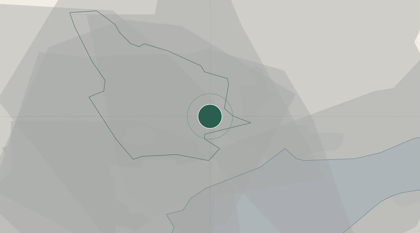
Hub Profile
Place type
Populated place
Region
Wales
Population
20,443
Time zone
Europe/London
Elevation
49 m
Location
Nearby Logistics Neighbours
Cities
- 1Crosskeys1 km
- 2Abercarn4 km
- 3Rogerstone5 km
- 4Maesycwmmer9 km
- 5Ystrad Mynach10 km
Airports
- 1Cardiff International Airport30 km
- 2MOD St Athan33 km
- 3Bristol Airport37 km
- 4Swansea Airport67 km
- 5Gloucestershire Airport71 km
Trade Zones
DatabookThe Record of Consolidated Knowledge
United Kingdom beyond logistics?