Transport Functions
Rail
Road
Hub Profile
Place type
District seat
Region
Wales
Time zone
Europe/London
Elevation
63 m
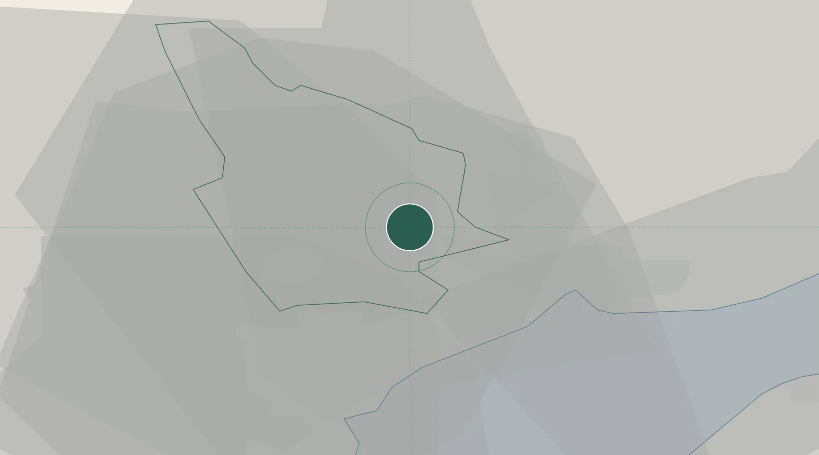
Location
Nearby Logistics Neighbours
Cities
- 1Risca1 km
- 2Abercarn4 km
- 3Rogerstone6 km
- 4Maesycwmmer8 km
- 5Ystrad Mynach9 km
Airports
- 1Cardiff International Airport29 km
- 2MOD St Athan32 km
- 3Bristol Airport38 km
- 4Swansea Airport66 km
- 5Gloucestershire Airport72 km
Trade Zones
DatabookThe Record of Consolidated Knowledge
United Kingdom beyond logistics?