Transport Functions
Rail
Road
Hub Profile
Place type
Provincial seat
Region
Wales
Time zone
Europe/London
Elevation
115 m
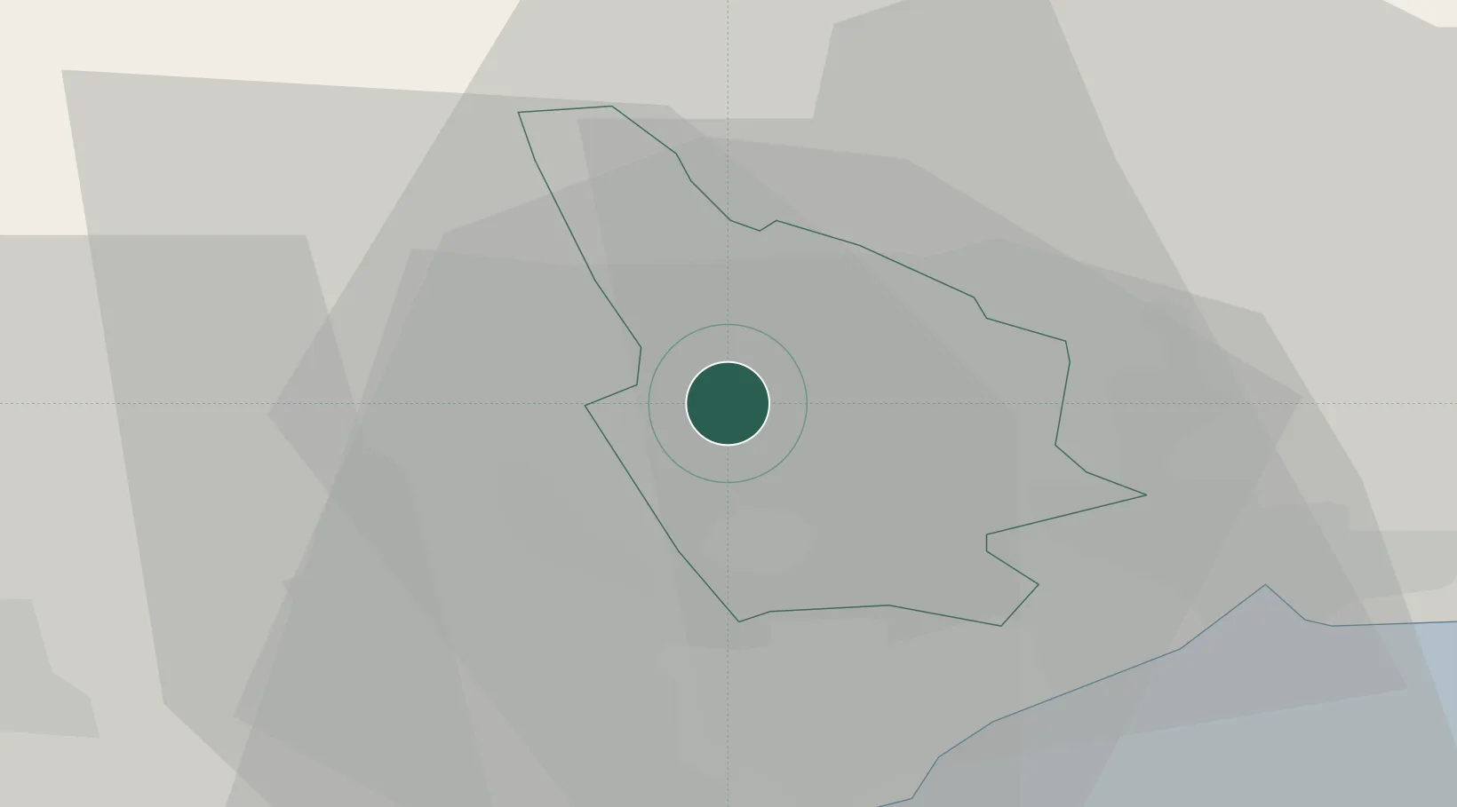
Location
Nearby Logistics Neighbours
Cities
- 1Maesycwmmer2 km
- 2Aberbargoed6 km
- 3Abercarn7 km
- 4Aberbeeg9 km
- 5Pontypridd9 km
Airports
- 1Cardiff International Airport29 km
- 2MOD St Athan31 km
- 3Bristol Airport47 km
- 4Swansea Airport58 km
- 5Gloucestershire Airport78 km
Trade Zones
DatabookThe Record of Consolidated Knowledge
United Kingdom beyond logistics?