UN/LOCODE hub · United Kingdom
GBABC
Abercarn
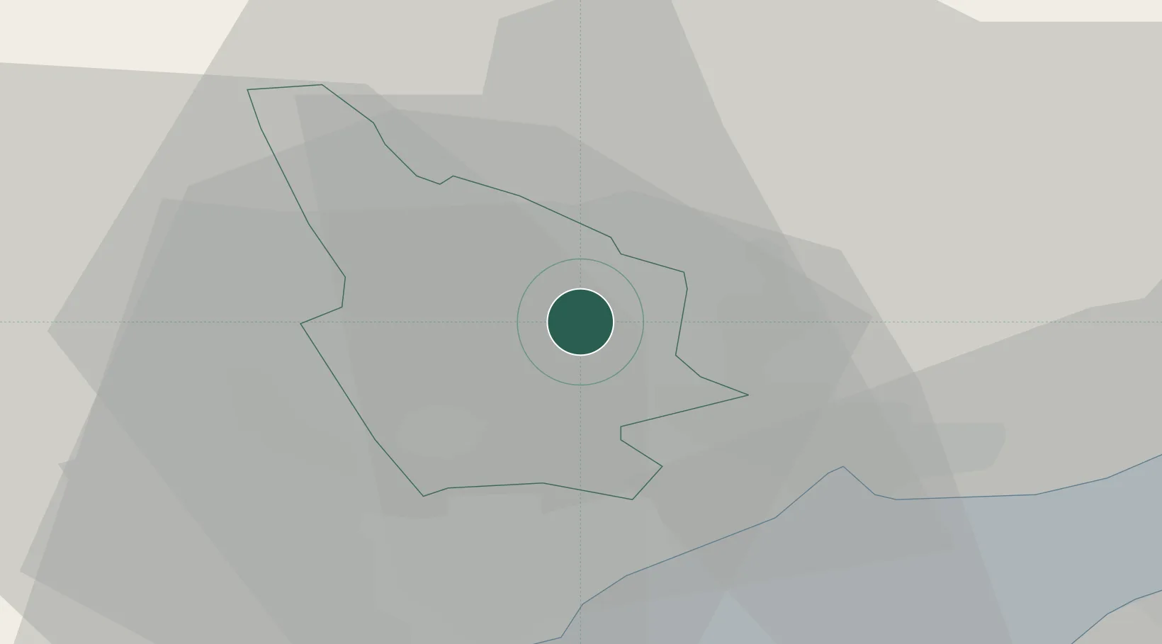
51.6500°, -3.1333°
10,118
Population
2
Transport functions
Transport Functions
Rail
Road
Hub Profile
Place type
Populated place
Region
Wales
Population
10,118
Time zone
Europe/London
Elevation
103 m
Location
Nearby Logistics Neighbours
Cities
- 1Crosskeys4 km
- 2Risca4 km
- 3Ystrad Mynach7 km
- 4Maesycwmmer7 km
- 5Aberbeeg8 km
Airports
- 1Cardiff International Airport32 km
- 2MOD St Athan34 km
- 3Bristol Airport41 km
- 4Swansea Airport65 km
- 5Gloucestershire Airport72 km
Trade Zones
DatabookThe Record of Consolidated Knowledge
United Kingdom beyond logistics?