UN/LOCODE hub · United Kingdom
GBRAY

Rothesay, Isle of Bute

55.8833°, -5.1500°
3
Transport functions

Transport Functions

Port
Road
Airport
Rothesay, Isle of Bute is also a profiled seaport →
UN/LOCODE

Hub Profile

Region
AGB
GeoNames

Location

Location of GBRAY
Natural Earth 10m (public domain) · AGB · GBRAY · 55.88, -5.15GoogleOSMYandex

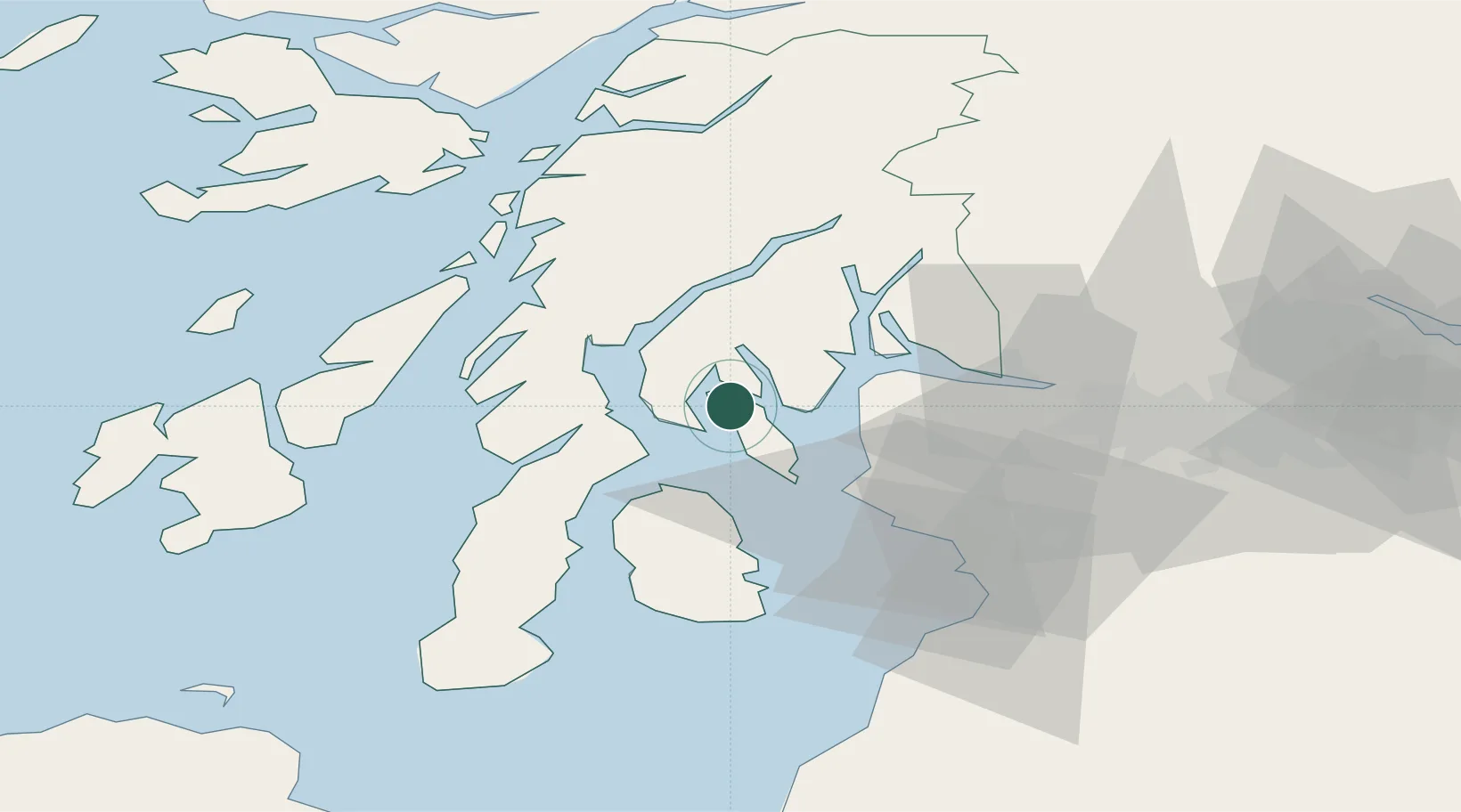
Nearby Logistics Neighbours

Cities
  1. 1Colintraive4 km
  2. 2Rhubodach, Isle of Bute4 km
  3. 3Kyles of Bute5 km
  4. 4Ardmaleish5 km
  5. 5Tighnabruaich6 km
Nearest neighbours — logibook spatial index (haversine) over the source coordinates
Ports
  1. 1Largs20 km
  2. 2Millport21 km
  3. 3Hunterston22 km
  4. 4Ardrishaig24 km
  5. 5Greenock26 km
Nearest neighbours — logibook spatial index (haversine) over the source coordinates
Airports
  1. 1Glasgow Airport45 km
  2. 2Glasgow Prestwick Airport56 km
  3. 3Campbeltown Airport60 km
  4. 4Oban Airport66 km
  5. 5Colonsay Airstrip71 km
Nearest neighbours — logibook spatial index (haversine) over the source coordinates
Trade Zones
  1. 1Prestwick Airport Free Zone54 km
  2. 2Carlisle Kingmoor Park Enterprise Zone174 km
  3. 3Isle of Man Free Zone and Business Park202 km
  4. 4Blackpool Enterprise Zone271 km
  5. 5Hillhouse Enterprise Zone273 km
Nearest neighbours — logibook spatial index (haversine) over the source coordinates
DatabookThe Record of Consolidated Knowledge
United Kingdom beyond logistics?
Browse databook

All Sources

LocationsUN/LOCODE
UN/LOCODE — free
Portsthe NGA World Port Index
Public domain (US gov)
AirportsOurAirports
Public domain
Trade Zonesthe World Bank SEZ database
CC BY 4.0
Trade ZonesOpen Zone Map
CC BY
← United Kingdom locations