UN/LOCODE hub · United Kingdom
GBDDH
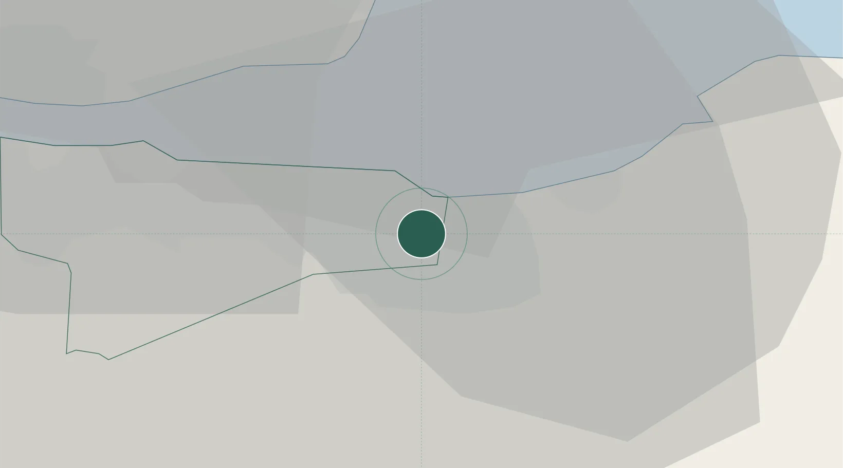
Danderhall
55.9167°, -3.1000°
2,770
Population
2
Transport functions
Transport Functions
Road
Multimodal
Hub Profile
Place type
Populated place
Region
Scotland
Population
2,770
Time zone
Europe/London
Elevation
83 m
Location
Nearby Logistics Neighbours
Cities
- 1Fisherrow/Musselburgh3 km
- 2Leith6 km
- 3Loanhead6 km
- 4Edinburgh7 km
- 5Newhaven/Edinburgh9 km
Ports
- 1Leith9 km
- 2Granton10 km
- 3Burntisland17 km
- 4Braefoot Bay Terminal19 km
- 5Hound Point Terminal19 km
Airports
- 1Edinburgh Airport17 km
- 2Leuchars Station Airfield53 km
- 3Dundee Airport60 km
- 4Glasgow Airport83 km
- 5RAF Spadeadam102 km
Trade Zones
DatabookThe Record of Consolidated Knowledge
United Kingdom beyond logistics?