Transport Functions
Port
Hub Profile
Place type
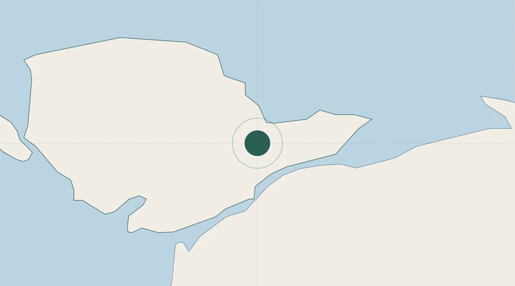
Populated place
Region
Wales
Population
557
Time zone
Europe/London
Elevation
19 m
Location
Nearby Logistics Neighbours
Cities
- 1Llangefni6 km
- 2Gaerwen8 km
- 3Moelfre Roads9 km
- 4Brynsiencyn9 km
- 5Bodffordd10 km
Ports
- 1Caernarvon13 km
- 2Holyhead28 km
- 3Liverpool Bay Terminal53 km
- 4Mostyn63 km
- 5Liverpool83 km
Airports
- 1Anglesey Airport21 km
- 2Hawarden Airport83 km
- 3Liverpool John Lennon Airport91 km
- 4Isle of Man Airport95 km
- 5Blackpool Airport97 km
Trade Zones
DatabookThe Record of Consolidated Knowledge
United Kingdom beyond logistics?