Transport Functions
Multimodal
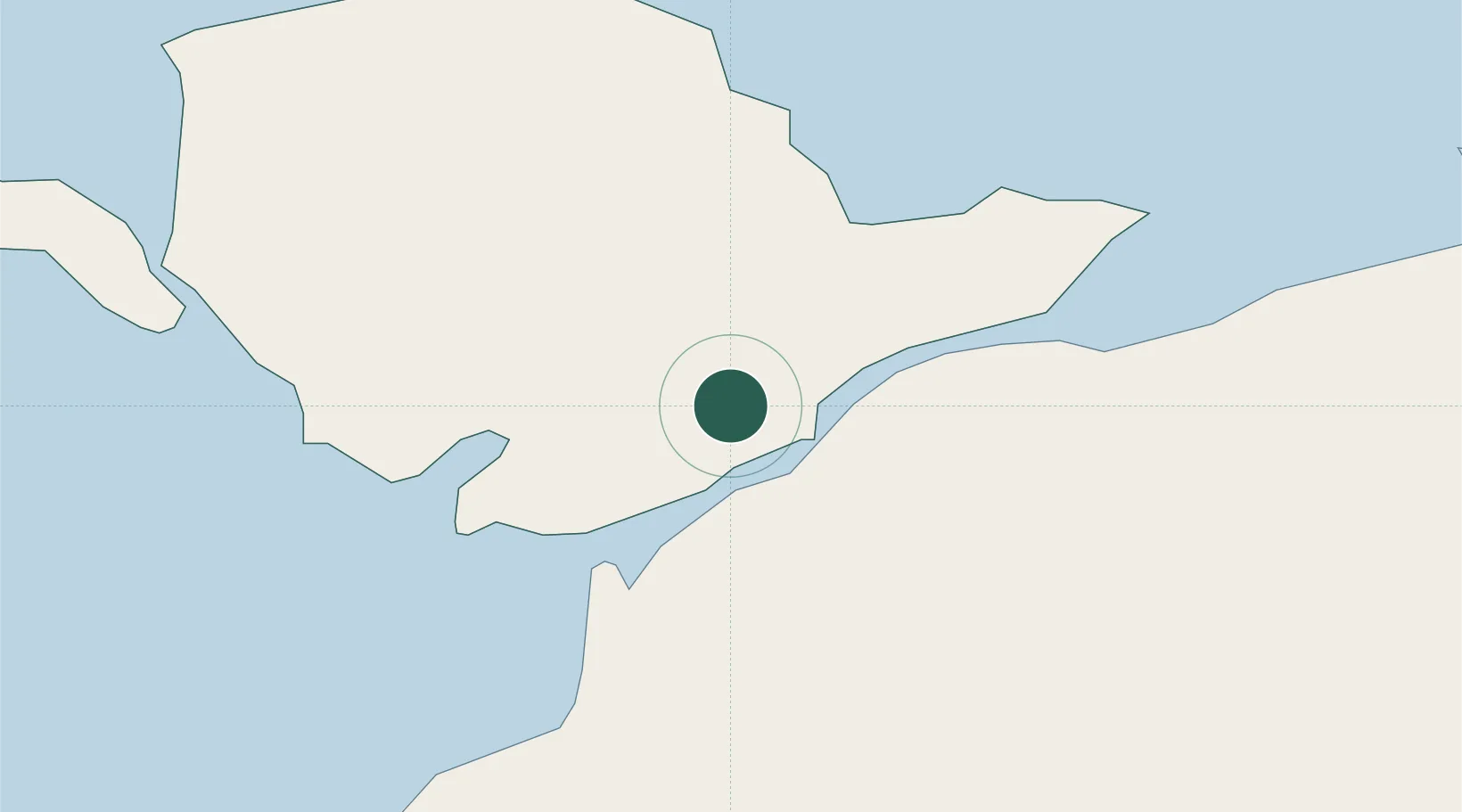
Hub Profile
Place type
Populated place
Region
Wales
Population
1,551
Time zone
Europe/London
Elevation
59 m
Location
Nearby Logistics Neighbours
Cities
- 1Brynsiencyn3 km
- 2Llangefni6 km
- 3Pentraeth8 km
- 4Bodffordd10 km
- 5Aberffraw12 km
Ports
- 1Caernarvon6 km
- 2Holyhead28 km
- 3Liverpool Bay Terminal60 km
- 4Mostyn68 km
- 5Liverpool88 km
Airports
- 1Anglesey Airport19 km
- 2Hawarden Airport86 km
- 3Liverpool John Lennon Airport95 km
- 4Isle of Man Airport101 km
- 5Blackpool Airport104 km
Trade Zones
DatabookThe Record of Consolidated Knowledge
United Kingdom beyond logistics?