Transport Functions
Port
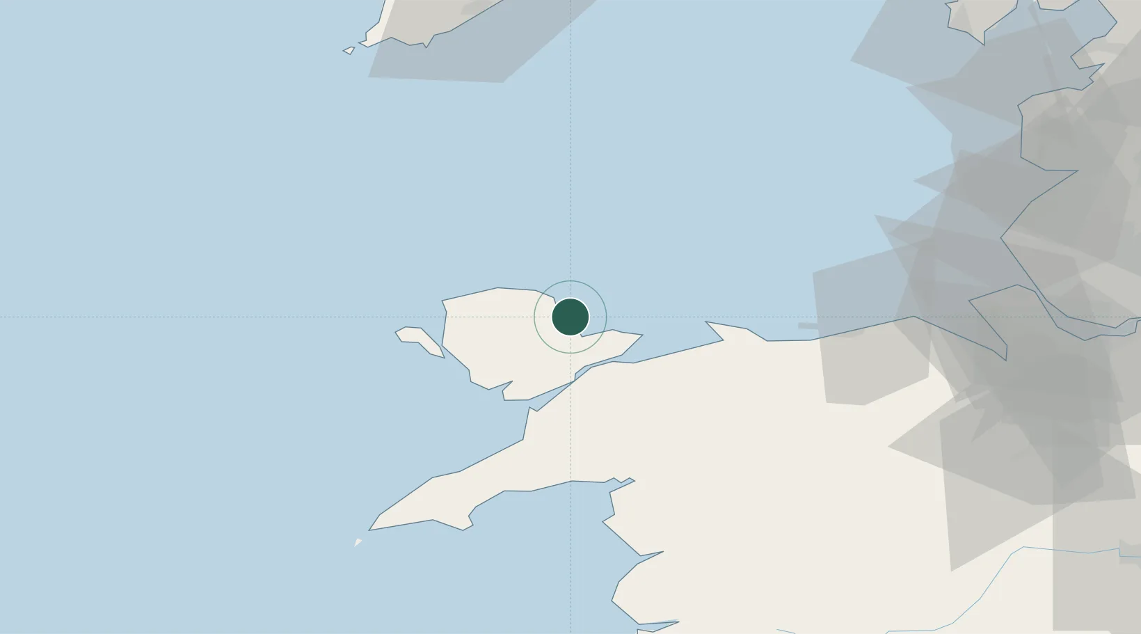
Location
Nearby Logistics Neighbours
Ports
- 1Caernarvon22 km
- 2Holyhead27 km
- 3Liverpool Bay Terminal50 km
- 4Mostyn64 km
- 5Liverpool82 km
Airports
- 1Anglesey Airport23 km
- 2Isle of Man Airport86 km
- 3Hawarden Airport86 km
- 4Liverpool John Lennon Airport92 km
- 5Blackpool Airport92 km
Trade Zones
DatabookThe Record of Consolidated Knowledge
United Kingdom beyond logistics?