Transport Functions
Port
Hub Profile
Place type
Populated place
Region
Wales
Time zone
Europe/London
Elevation
47 m
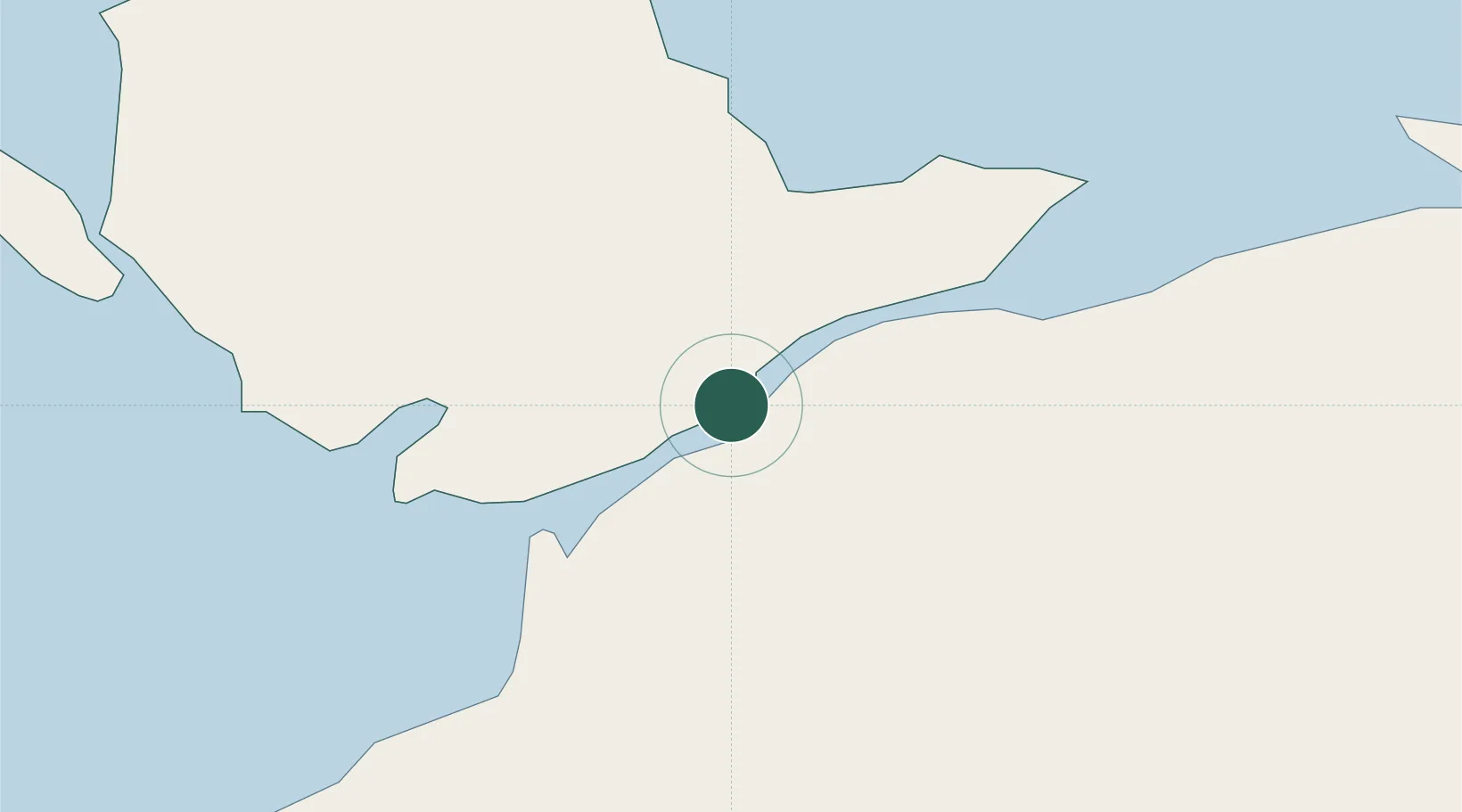
Location
Nearby Logistics Neighbours
Ports
- 1Caernarvon4 km
- 2Holyhead31 km
- 3Liverpool Bay Terminal60 km
- 4Mostyn66 km
- 5Liverpool86 km
Airports
- 1Anglesey Airport21 km
- 2Hawarden Airport84 km
- 3Liverpool John Lennon Airport94 km
- 4Blackpool Airport103 km
- 5Isle of Man Airport103 km
Trade Zones
DatabookThe Record of Consolidated Knowledge
United Kingdom beyond logistics?