UN/LOCODE hub · United Kingdom
GBLGI
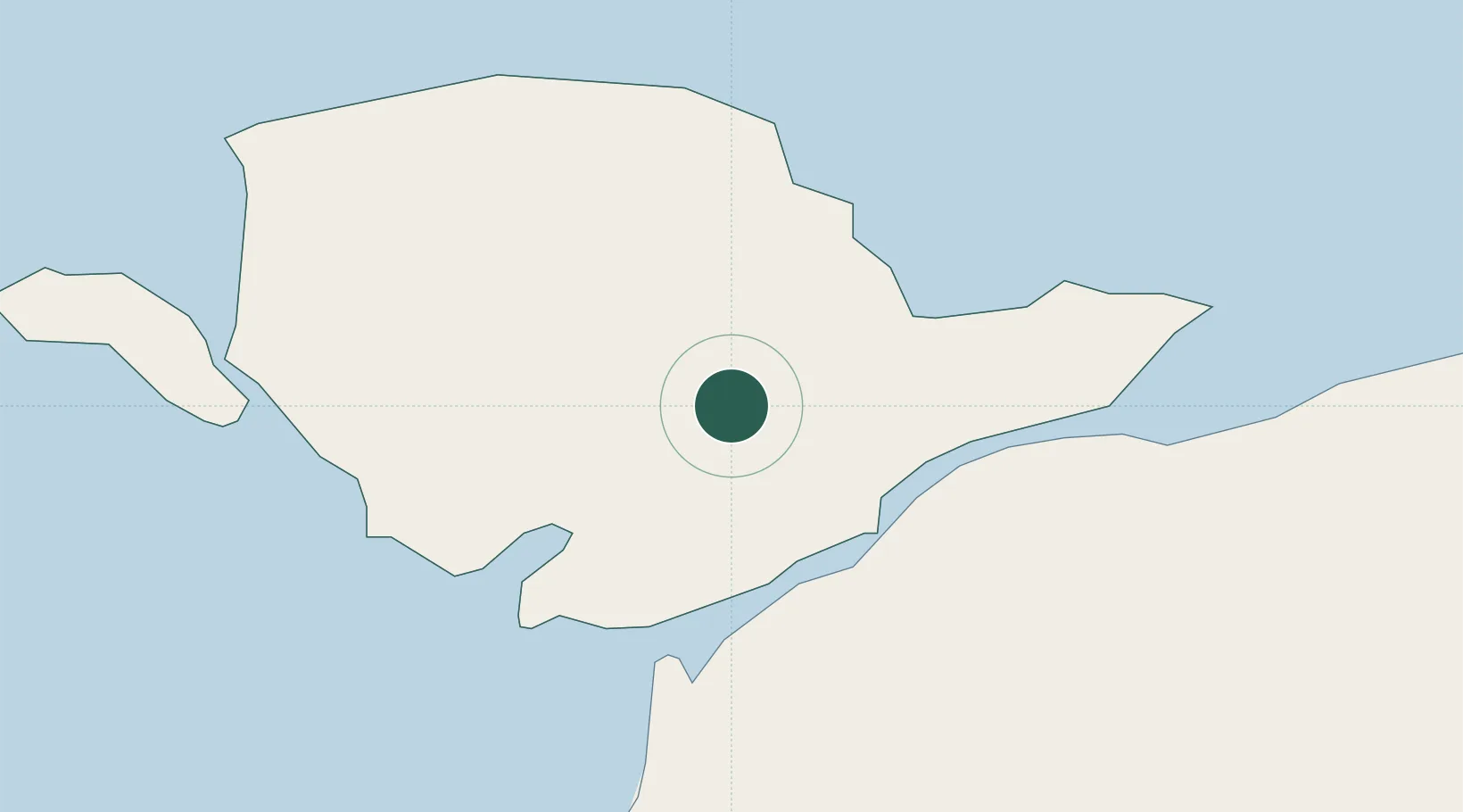
Llangefni
53.2500°, -4.3000°
4,864
Population
2
Transport functions
Transport Functions
Rail
Road
Hub Profile
Place type
Provincial seat
Region
Wales
Population
4,864
Time zone
Europe/London
Elevation
15 m
Location
Nearby Logistics Neighbours
Cities
- 1Bodffordd5 km
- 2Pentraeth6 km
- 3Gaerwen6 km
- 4Brynsiencyn9 km
- 5Moelfre Roads12 km
Ports
- 1Caernarvon11 km
- 2Holyhead23 km
- 3Liverpool Bay Terminal59 km
- 4Mostyn69 km
- 5Liverpool88 km
Airports
- 1Anglesey Airport16 km
- 2Hawarden Airport88 km
- 3Isle of Man Airport95 km
- 4Liverpool John Lennon Airport97 km
- 5Blackpool Airport102 km
Trade Zones
DatabookThe Record of Consolidated Knowledge
United Kingdom beyond logistics?