Transport Functions
Rail
Road
Hub Profile
Place type
Populated place
Region
England
Population
2,216
Time zone
Europe/London
Elevation
11 m
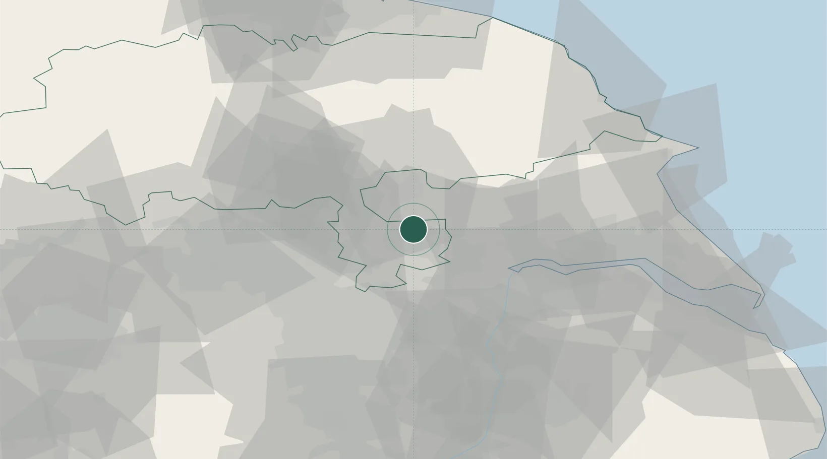
Location
Nearby Logistics Neighbours
Ports
- 1Howdendyke16 km
- 2Goole21 km
- 3New Holland47 km
- 4Kingston Upon Hull51 km
- 5Immingham60 km
Airports
- 1Leeds East Airport10 km
- 2Leeds Bradford Airport40 km
- 3RAF Topcliffe47 km
- 4Humberside Airport54 km
- 5RAF Leeming61 km
Trade Zones
DatabookThe Record of Consolidated Knowledge
United Kingdom beyond logistics?