Transport Functions
Port
Rail
Road
Hub Profile
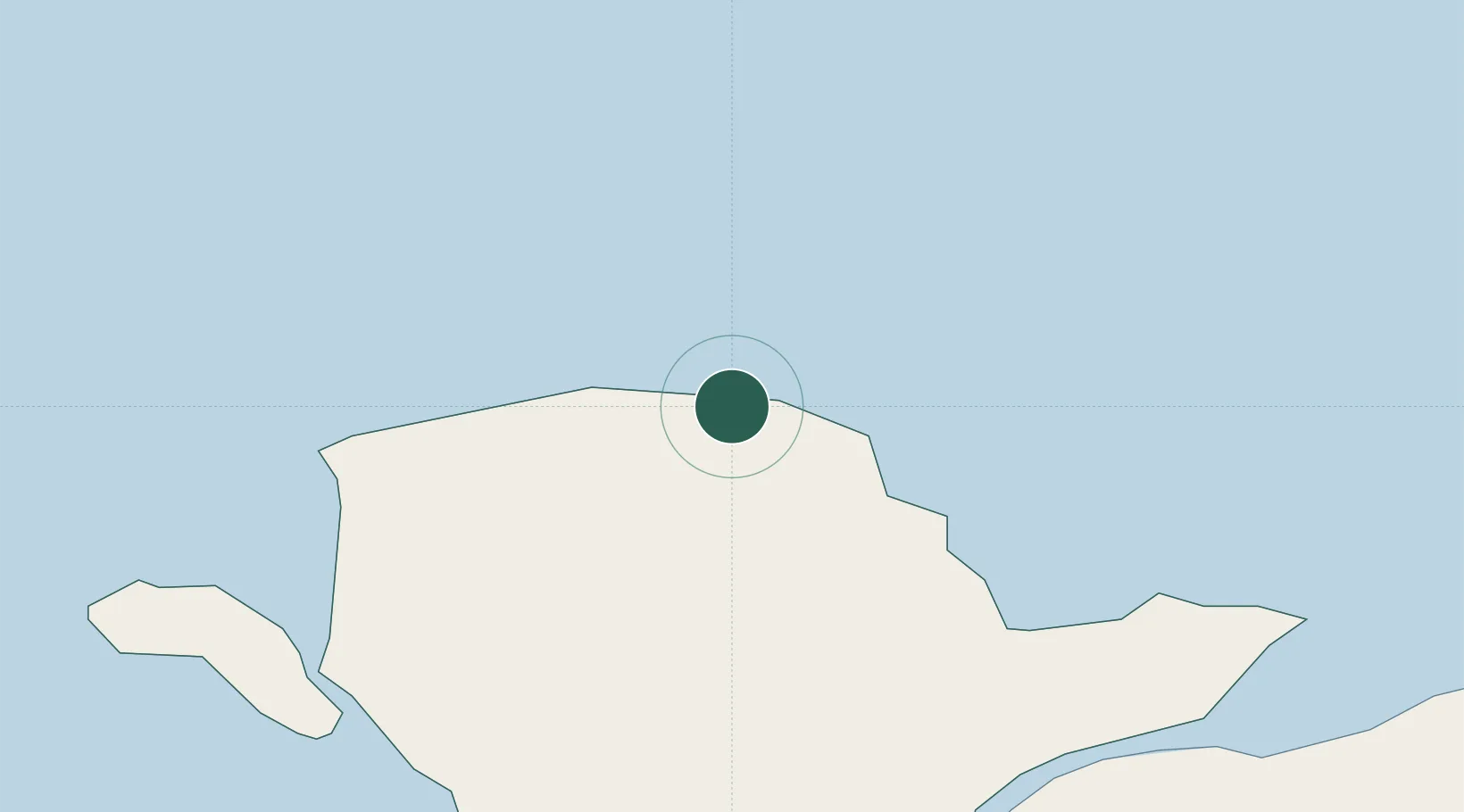
Place type
Populated place
Region
Wales
Population
3,211
Time zone
Europe/London
Elevation
34 m
Location
Nearby Logistics Neighbours
Cities
- 1Cemaes Bay7 km
- 2Dulas Bay8 km
- 3Moelfre Roads11 km
- 4Bodffordd17 km
- 5Llangefni19 km
Ports
- 1Holyhead22 km
- 2Caernarvon30 km
- 3Liverpool Bay Terminal55 km
- 4Mostyn73 km
- 5Douglas82 km
Airports
- 1Anglesey Airport22 km
- 2Isle of Man Airport76 km
- 3Hawarden Airport95 km
- 4Blackpool Airport96 km
- 5Liverpool John Lennon Airport100 km
Trade Zones
DatabookThe Record of Consolidated Knowledge
United Kingdom beyond logistics?