Transport Functions
Port
Hub Profile
Region
AGY
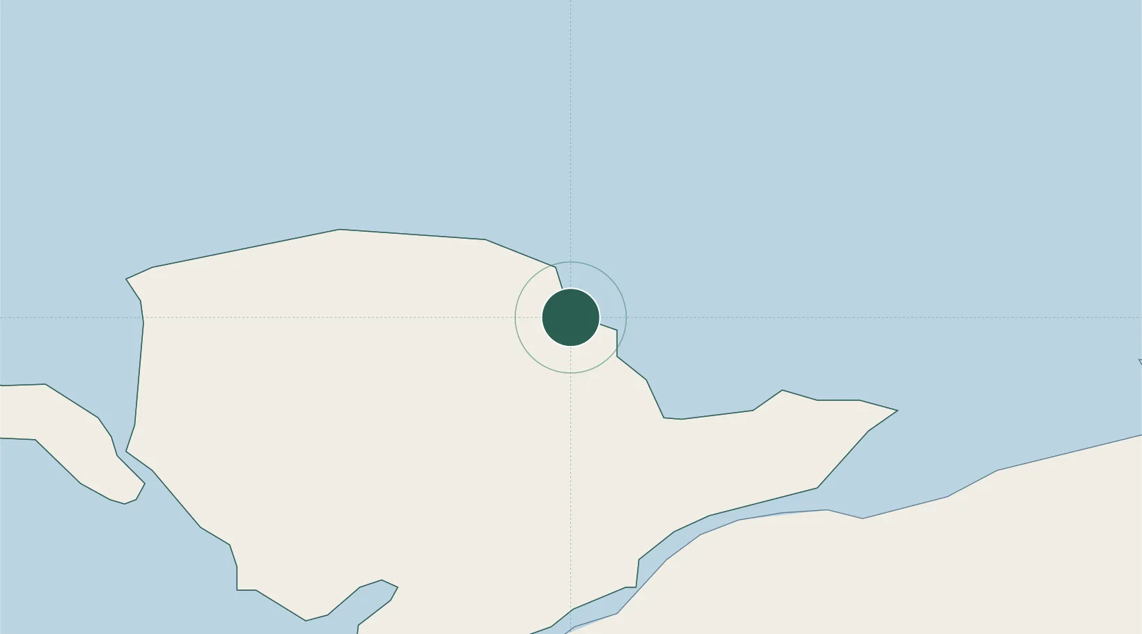
Location
Nearby Logistics Neighbours
Cities
- 1Moelfre Roads3 km
- 2Amlwch8 km
- 3Pentraeth12 km
- 4Bodffordd13 km
- 5Llangefni13 km
Ports
- 1Caernarvon24 km
- 2Holyhead25 km
- 3Liverpool Bay Terminal51 km
- 4Mostyn67 km
- 5Liverpool84 km
Airports
- 1Anglesey Airport22 km
- 2Isle of Man Airport83 km
- 3Hawarden Airport88 km
- 4Blackpool Airport93 km
- 5Liverpool John Lennon Airport94 km
Trade Zones
DatabookThe Record of Consolidated Knowledge
United Kingdom beyond logistics?