Transport Functions
Port
Multimodal
Hub Profile
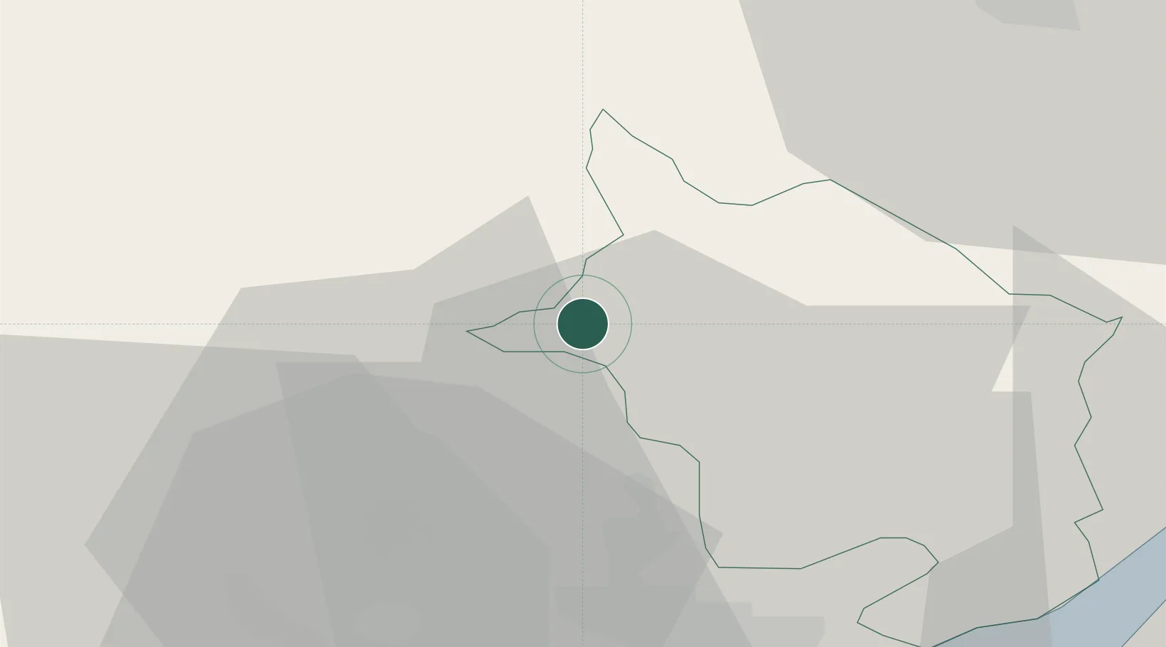
Place type
Populated place
Region
Wales
Population
1,447
Time zone
Europe/London
Elevation
93 m
Location
Nearby Logistics Neighbours
Cities
- 1Blackwood Hill10 km
- 2Abertillery10 km
- 3Mamhilad12 km
- 4Aberbeeg13 km
- 5Aberbargoed17 km
Airports
- 1Cardiff International Airport51 km
- 2MOD St Athan52 km
- 3Bristol Airport54 km
- 4Gloucestershire Airport62 km
- 5Swansea Airport73 km
Trade Zones
DatabookThe Record of Consolidated Knowledge
United Kingdom beyond logistics?