Transport Functions
Rail
Road
Hub Profile
Place type
Populated place
Region
England
Time zone
Europe/London
Elevation
218 m
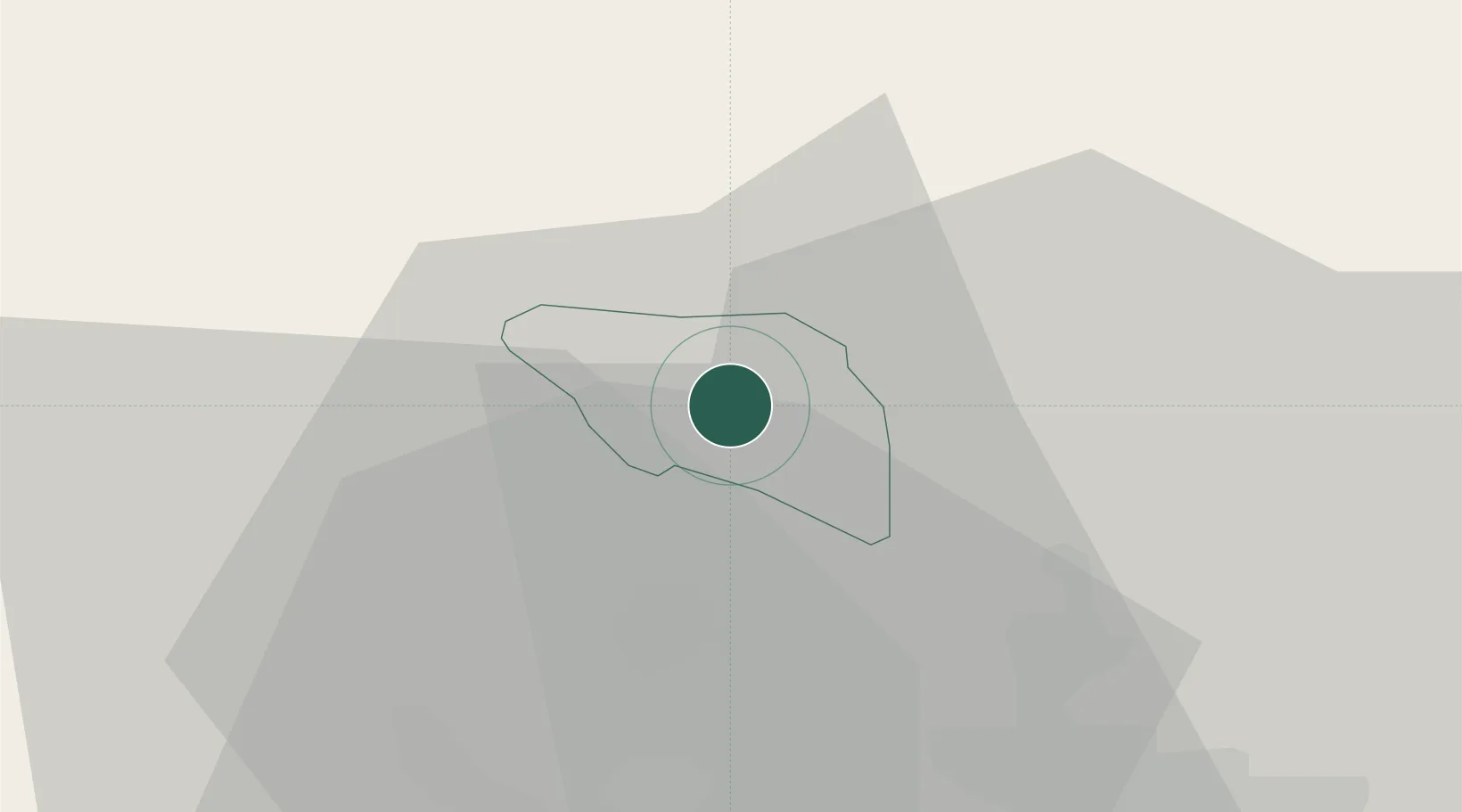
Location
Nearby Logistics Neighbours
Cities
- 1Aberbeeg6 km
- 2Abertillery6 km
- 3Aberbargoed8 km
- 4Govilon10 km
- 5Ystrad Mynach13 km
Airports
- 1Cardiff International Airport43 km
- 2MOD St Athan44 km
- 3Bristol Airport54 km
- 4Swansea Airport64 km
- 5Gloucestershire Airport71 km
Trade Zones
DatabookThe Record of Consolidated Knowledge
United Kingdom beyond logistics?