UN/LOCODE hub · United Kingdom
GBZEF
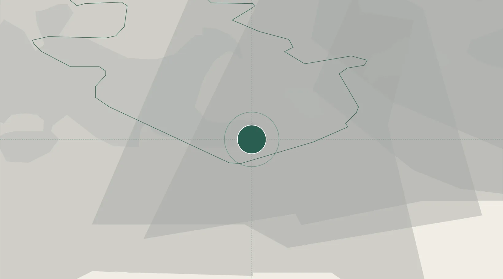
Morningside
55.7667°, -3.8667°
650
Population
1
Transport functions
Transport Functions
Multimodal
Hub Profile
Place type
Populated place
Region
Scotland
Population
650
Time zone
Europe/London
Elevation
153 m
Location
Nearby Logistics Neighbours
Ports
- 1Glasgow28 km
- 2Grangemouth29 km
- 3Renfrew35 km
- 4Rosyth39 km
- 5Hound Point Terminal41 km
Airports
- 1Edinburgh Airport37 km
- 2Glasgow Airport37 km
- 3Glasgow Prestwick Airport54 km
- 4Leuchars Station Airfield92 km
- 5Dundee Airport92 km
Trade Zones
DatabookThe Record of Consolidated Knowledge
United Kingdom beyond logistics?