UN/LOCODE hub · United Kingdom
GBOYT
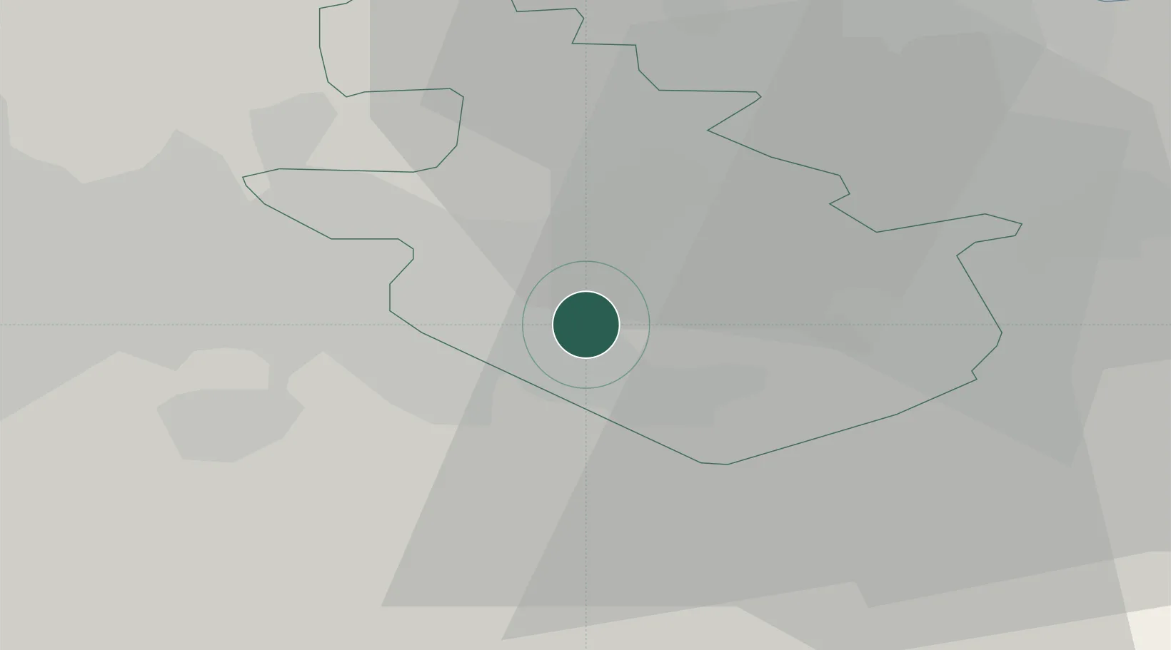
Holytown
55.8167°, -3.9667°
5,080
Population
2
Transport functions
Transport Functions
Rail
Road
Hub Profile
Place type
Populated place
Region
Scotland
Population
5,080
Time zone
Europe/London
Elevation
102 m
Location
Nearby Logistics Neighbours
Cities
- 1Mossend2 km
- 2Hamilton7 km
- 3Morningside8 km
- 4Shotts9 km
- 5Law11 km
Ports
- 1Glasgow21 km
- 2Renfrew27 km
- 3Grangemouth27 km
- 4Old Kilpatrick33 km
- 5Bowling35 km
Airports
- 1Glasgow Airport30 km
- 2Edinburgh Airport40 km
- 3Glasgow Prestwick Airport52 km
- 4Dundee Airport92 km
- 5Leuchars Station Airfield92 km
Trade Zones
DatabookThe Record of Consolidated Knowledge
United Kingdom beyond logistics?