Transport Functions
Port
Hub Profile
Place type
Populated place
Region
Scotland
Population
8,235
Time zone
Europe/London
Elevation
216 m
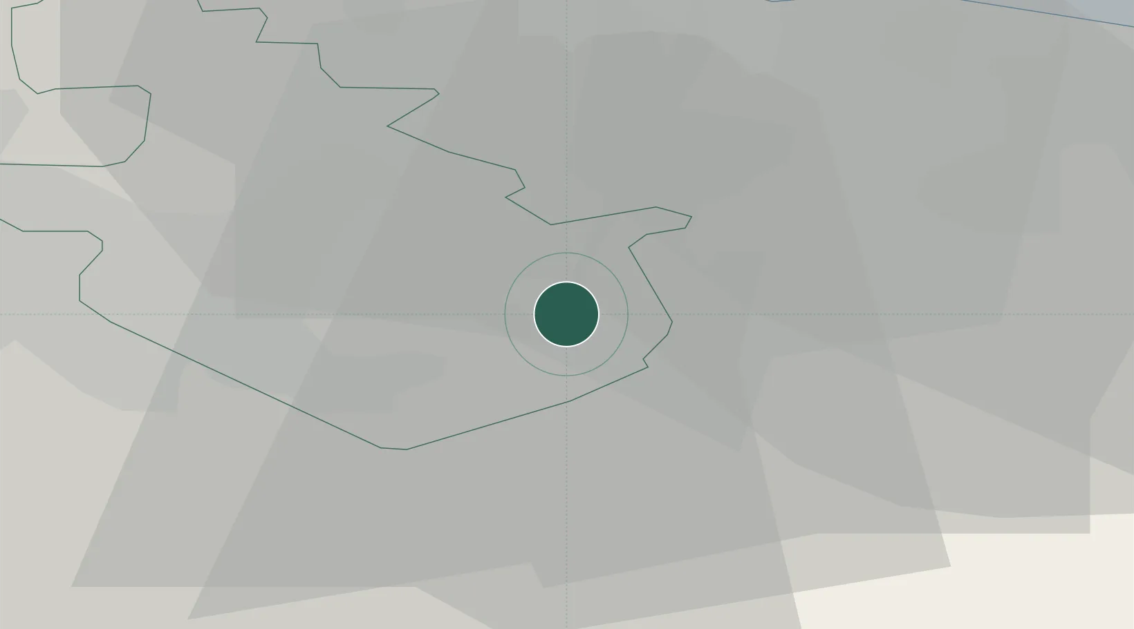
Location
Nearby Logistics Neighbours
Cities
- 1Shotts2 km
- 2Morningside8 km
- 3Forth10 km
- 4Law11 km
- 5Holytown12 km
Ports
- 1Grangemouth23 km
- 2Rosyth31 km
- 3Glasgow32 km
- 4Hound Point Terminal33 km
- 5Braefoot Bay Terminal38 km
Airports
- 1Edinburgh Airport30 km
- 2Glasgow Airport41 km
- 3Glasgow Prestwick Airport61 km
- 4Leuchars Station Airfield84 km
- 5Dundee Airport85 km
Trade Zones
DatabookThe Record of Consolidated Knowledge
United Kingdom beyond logistics?