UN/LOCODE hub · United Kingdom
GBHMT
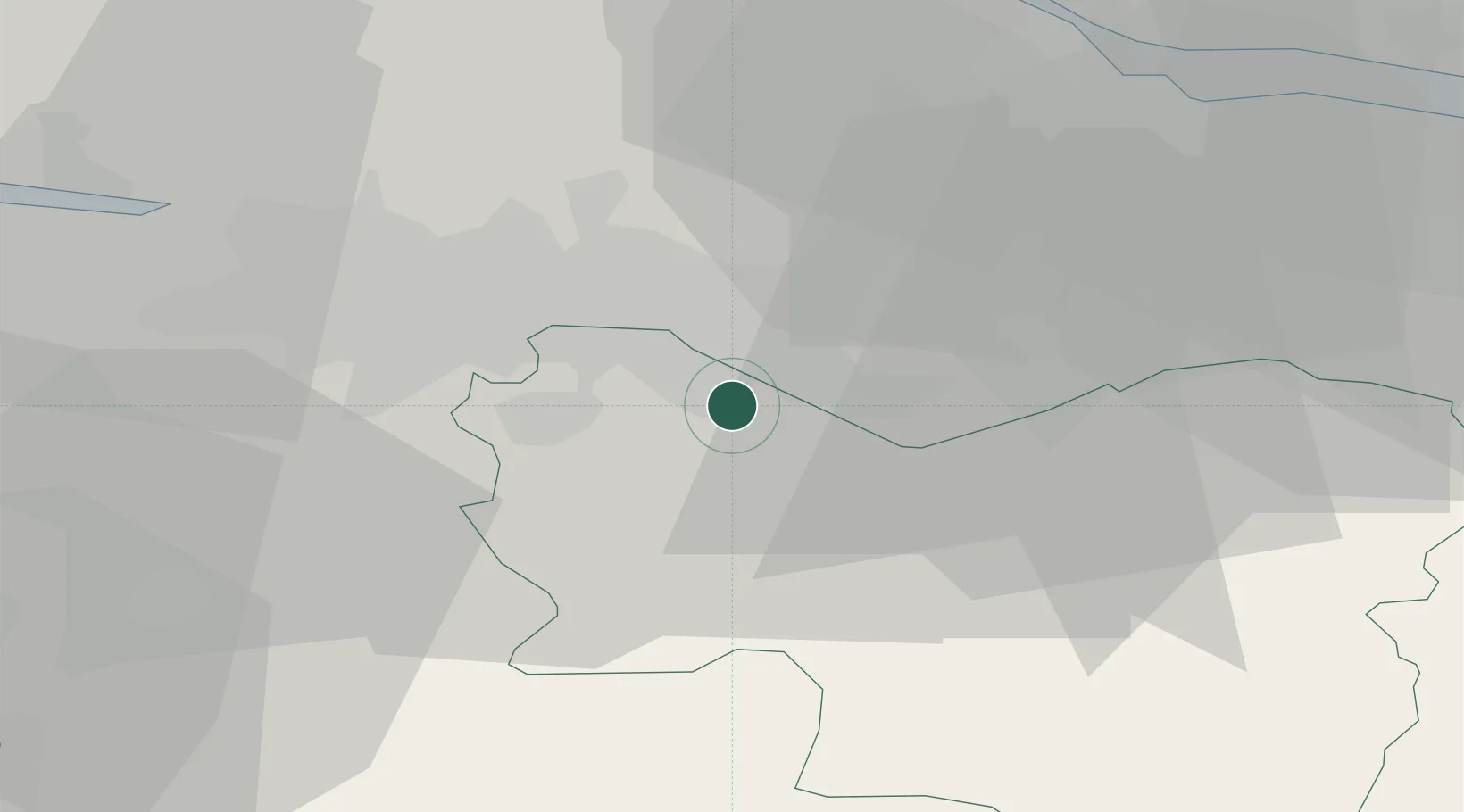
Hamilton
55.7667°, -4.0333°
54,480
Population
2
Transport functions
Transport Functions
Rail
Road
Hub Profile
Place type
Provincial seat
Region
Scotland
Population
54,480
Time zone
Europe/London
Elevation
68 m
Location
Nearby Logistics Neighbours
Cities
- 1Mossend6 km
- 2Holytown7 km
- 3Law10 km
- 4Morningside10 km
- 5Cambuslang11 km
Ports
- 1Glasgow19 km
- 2Renfrew25 km
- 3Old Kilpatrick32 km
- 4Bowling34 km
- 5Grangemouth34 km
Airports
- 1Glasgow Airport28 km
- 2Glasgow Prestwick Airport45 km
- 3Edinburgh Airport46 km
- 4Dundee Airport99 km
- 5Leuchars Station Airfield99 km
Trade Zones
DatabookThe Record of Consolidated Knowledge
United Kingdom beyond logistics?