UN/LOCODE hub · United Kingdom
GBPNY
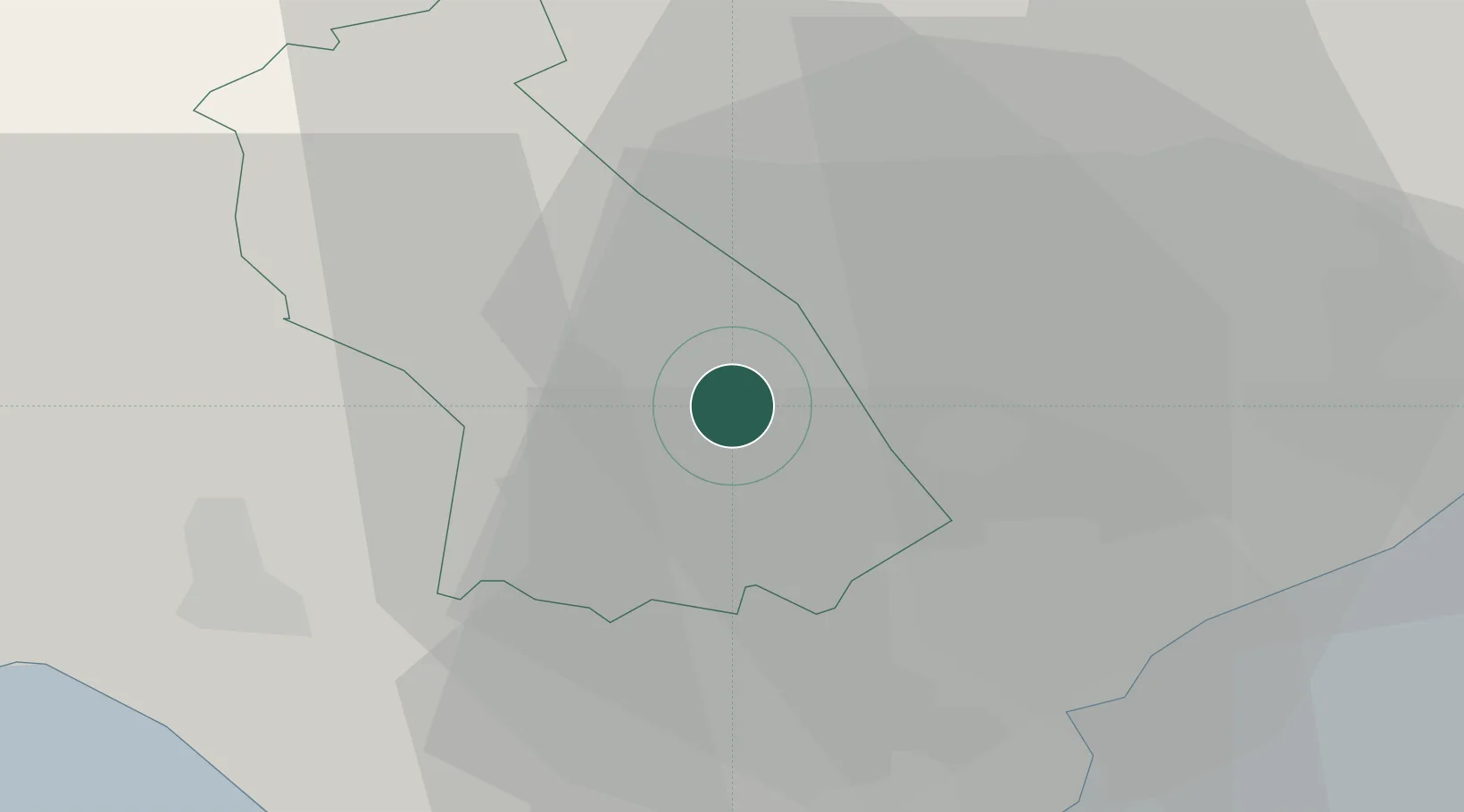
Pontypridd
51.6000°, -3.3333°
30,420
Population
2
Transport functions
Transport Functions
Rail
Road
Hub Profile
Place type
Populated place
Region
Wales
Population
30,420
Time zone
Europe/London
Elevation
68 m
Location
Nearby Logistics Neighbours
Cities
- 1Trefforest2 km
- 2Treforest2 km
- 3Porth5 km
- 4Tonyrefail6 km
- 5Maesycwmmer8 km
Ports
- 1Cardiff20 km
- 2Barry23 km
- 3Newport25 km
- 4Bird Port26 km
- 5Port Talbot33 km
Airports
- 1Cardiff International Airport23 km
- 2MOD St Athan23 km
- 3Bristol Airport49 km
- 4Swansea Airport51 km
- 5Royal Marines Base Chivenor80 km
Trade Zones
DatabookThe Record of Consolidated Knowledge
United Kingdom beyond logistics?