UN/LOCODE hub · United Kingdom
GBCTF
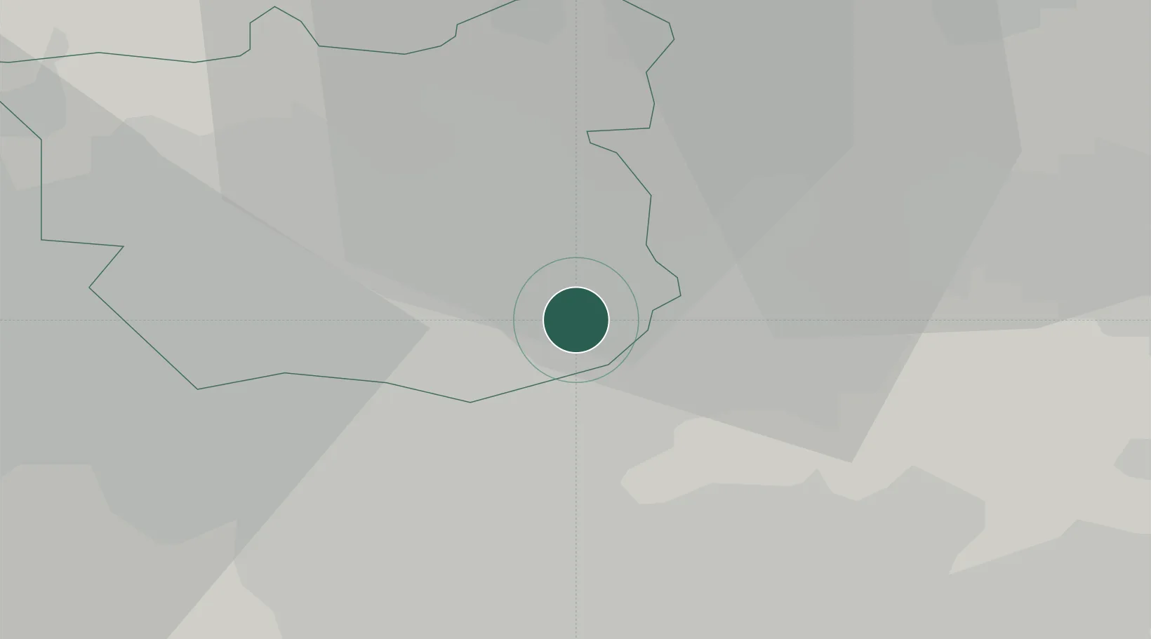
Castleford
53.7442°, -1.3506°
60,509
Population
1
Transport functions
Transport Functions
Port
Hub Profile
Place type
Populated place
Region
England
Population
60,509
Time zone
Europe/London
Elevation
15 m
Logistics facilities
1
Location
Nearby Logistics Neighbours
Cities
- 1Whitwood4 km
- 2Ravenfield7 km
- 3Ferrybridge7 km
- 4Denaby9 km
- 5Sherburn in Elmet9 km
Ports
- 1Howdendyke31 km
- 2Goole34 km
- 3New Holland65 km
- 4Manchester67 km
- 5Kingston Upon Hull70 km
Airports
- 1Leeds East Airport14 km
- 2Leeds Bradford Airport24 km
- 3RAF Topcliffe51 km
- 4RAF Leeming63 km
- 5Humberside Airport69 km
Trade Zones
DatabookThe Record of Consolidated Knowledge
United Kingdom beyond logistics?