UN/LOCODE hub · United Kingdom
GBBCS
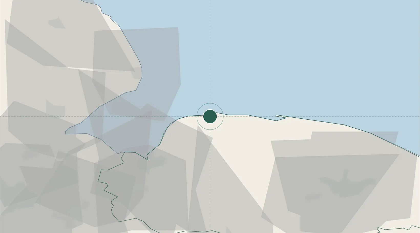
Brancaster Staithe
52.9667°, 0.6667°
367
Population
2
Transport functions
Transport Functions
Port
Road
Hub Profile
Place type
Populated place
Region
England
Population
367
Time zone
Europe/London
Elevation
10 m
Location
Nearby Logistics Neighbours
Cities
- 1Bexwell4 km
- 2Docking8 km
- 3Dersingham19 km
- 4Morston20 km
- 5Great Massingham22 km
Ports
- 1King's Lynn30 km
- 2Boston46 km
- 3Wisbech48 km
- 4Great Yarmouth82 km
- 5Grimsby84 km
Airports
- 1RAF Marham36 km
- 2Norwich Airport53 km
- 3RAF Coningsby57 km
- 4RAF Lakenheath62 km
- 5RAF Mildenhall68 km
Trade Zones
DatabookThe Record of Consolidated Knowledge
United Kingdom beyond logistics?