Medium airport · United Kingdom
Norwich AirportEGSH
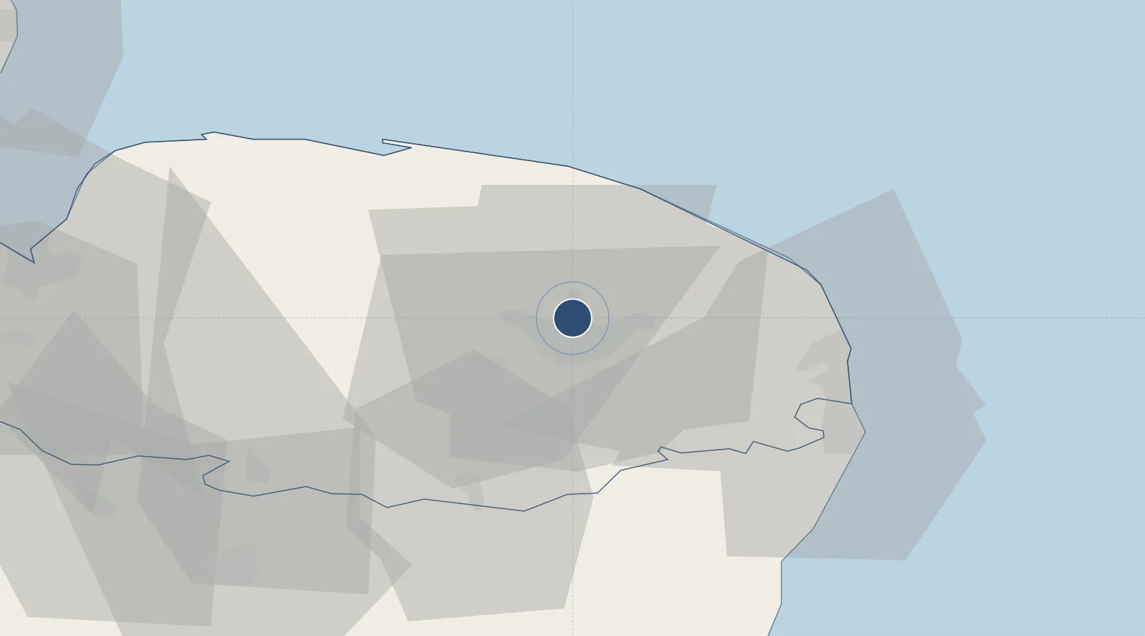
52.6758°, 1.2828°
6,043 ft
Longest runway
1
Runways
117 ft
Elevation
Runway & Layout

Radio Frequencies
ATIS
128.63 MHz
Norwich Information
TWR
124.255 MHz
Norwich Tower
APP
119.355 MHz
Norwich Approach
DIR
128.33 MHz
Norwich Director
HAN
131.855 MHz
Norwich Handling
RDR
119.355 MHz
Norwich Radar / LARS
Runways · 1
| Runway | Dimensions | Surface | True heading | Lit |
|---|---|---|---|---|
| 09/27 | 6,043 × 148ft | Concrete/Asphalt | 090° | ✓ |
Airport Specifications
IATA code
NWI
ICAO code
EGSH
Airport class
Medium airport
Scheduled service
Yes
Runway surface
Concrete/Asphalt
Served city
Norwich, Norfolk
Location
Nearby Logistics Neighbours
Airports
- 1RAF Marham50 km
- 2RAF Honington51 km
- 3RAF Lakenheath57 km
- 4RAF Mildenhall64 km
- 5Wattisham Airfield65 km
Ports
- 1Great Yarmouth31 km
- 2Lowestoft38 km
- 3King's Lynn60 km
- 4Ipswich70 km
- 5Wisbech76 km
Trade Zones
DatabookThe Record of Consolidated Knowledge
United Kingdom beyond logistics?