Transport Functions
Multimodal
Hub Profile
Place type
Populated place
Region
England
Time zone
Europe/London
Elevation
34 m
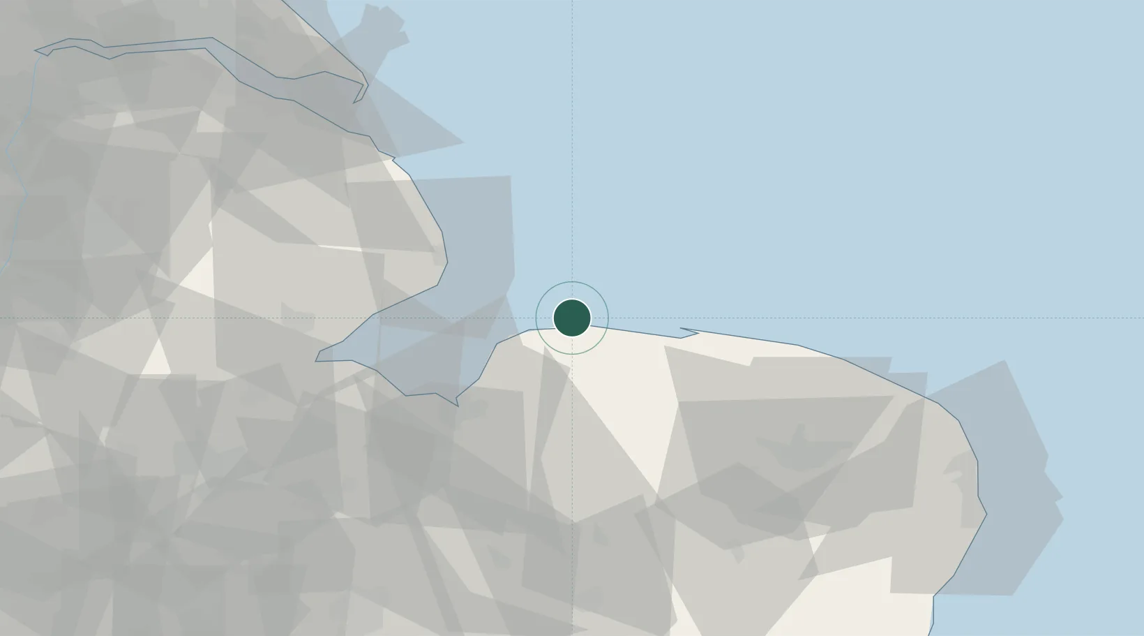
Location
Nearby Logistics Neighbours
Cities
- 1Brancaster Staithe4 km
- 2Docking12 km
- 3Morston20 km
- 4Dersingham22 km
- 5Blakeney23 km
Ports
- 1King's Lynn34 km
- 2Boston47 km
- 3Wisbech52 km
- 4Grimsby82 km
- 5Great Yarmouth82 km
Airports
- 1RAF Marham40 km
- 2Norwich Airport54 km
- 3RAF Coningsby58 km
- 4RAF Lakenheath66 km
- 5RAF Mildenhall72 km
Trade Zones
DatabookThe Record of Consolidated Knowledge
United Kingdom beyond logistics?