Transport Functions
Road
Multimodal
Hub Profile
Place type
District seat
Region
England
Population
2,433
Time zone
Europe/London
Elevation
6 m
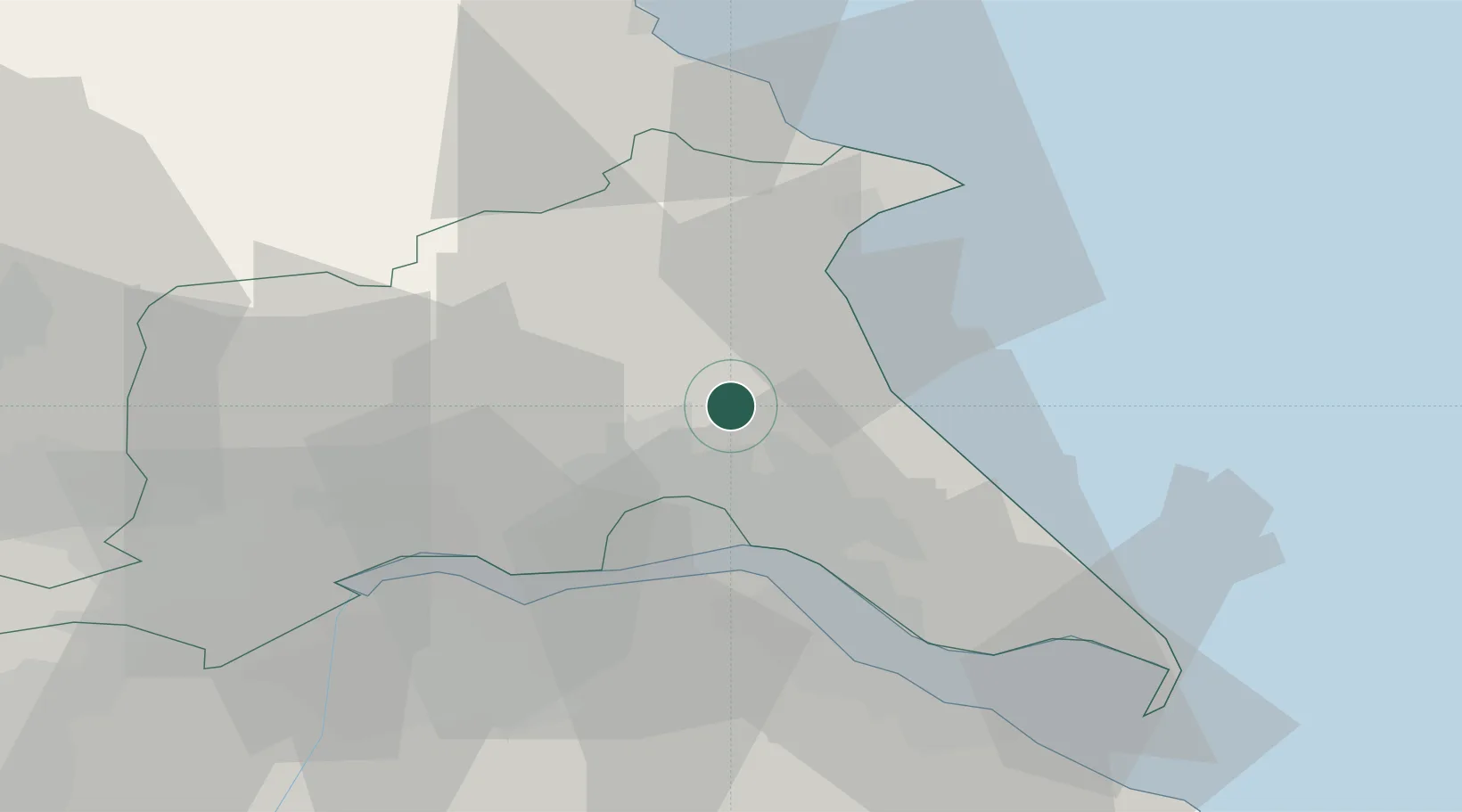
Location
Nearby Logistics Neighbours
Cities
- 1Goxhill8 km
- 2Dunnington9 km
- 3Hull15 km
- 4Salt End18 km
- 5Hedon19 km
Ports
- 1Kingston Upon Hull15 km
- 2New Holland21 km
- 3Bridlington24 km
- 4Immingham29 km
- 5Grimsby37 km
Airports
- 1Humberside Airport34 km
- 2Leeds East Airport58 km
- 3RAF Topcliffe78 km
- 4RAF Waddington81 km
- 5Leeds Bradford Airport88 km
Trade Zones
DatabookThe Record of Consolidated Knowledge
United Kingdom beyond logistics?