Transport Functions
Multimodal
Hub Profile
Place type
Populated place
Region
England
Time zone
Europe/London
Elevation
90 m
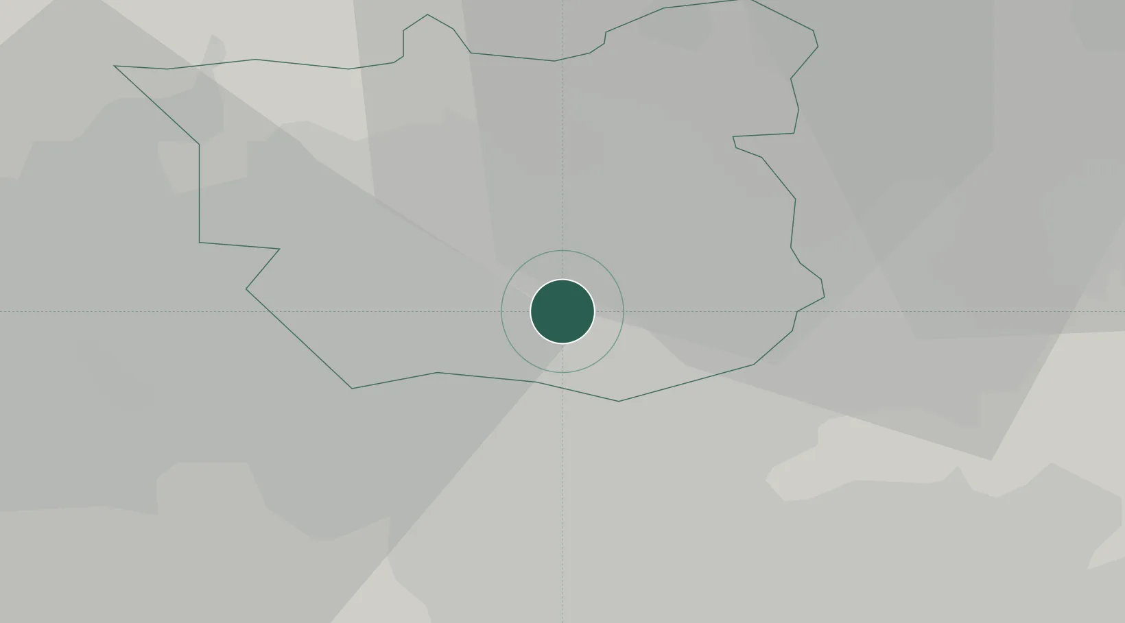
Location
Nearby Logistics Neighbours
Cities
- 1Stourton/Leeds4 km
- 2Leeds ICD4 km
- 3Leeds5 km
- 4Denaby6 km
- 5Whitwood6 km
Ports
- 1Howdendyke37 km
- 2Goole41 km
- 3Manchester62 km
- 4New Holland72 km
- 5Kingston Upon Hull77 km
Airports
- 1Leeds Bradford Airport19 km
- 2Leeds East Airport19 km
- 3RAF Topcliffe51 km
- 4RAF Leeming61 km
- 5Manchester Airport71 km
DatabookThe Record of Consolidated Knowledge
United Kingdom beyond logistics?