UN/LOCODE hub · United Kingdom
GBSBL
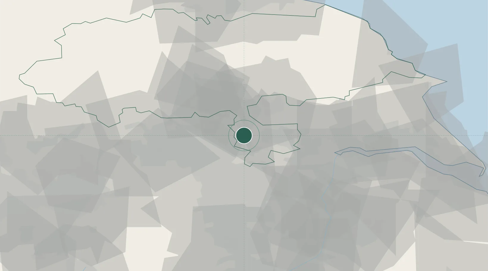
Sherburn in Elmet
53.8000°, -1.2500°
6,657
Population
2
Transport functions
Transport Functions
Rail
Road
Hub Profile
Place type
Populated place
Region
England
Population
6,657
Time zone
Europe/London
Elevation
12 m
Location
Nearby Logistics Neighbours
Cities
- 1Hambleton7 km
- 2Castleford9 km
- 3Ferrybridge11 km
- 4Selby12 km
- 5Whitwood13 km
Ports
- 1Howdendyke25 km
- 2Goole30 km
- 3New Holland59 km
- 4Kingston Upon Hull64 km
- 5Immingham72 km
Airports
- 1Leeds East Airport5 km
- 2Leeds Bradford Airport28 km
- 3RAF Topcliffe46 km
- 4RAF Leeming58 km
- 5Humberside Airport64 km
Trade Zones
DatabookThe Record of Consolidated Knowledge
United Kingdom beyond logistics?