Transport Functions
Multimodal
Hub Profile
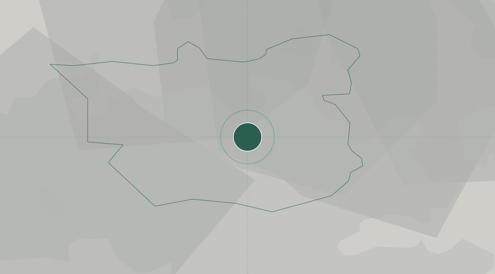
Region
ROT
Location
Nearby Logistics Neighbours
Cities
- 1Stourton/Leeds5 km
- 2Leeds5 km
- 3Leeds ICD5 km
- 4Ravenfield6 km
- 5Hunslet/Leeds6 km
Ports
- 1Howdendyke38 km
- 2Goole42 km
- 3Manchester64 km
- 4New Holland72 km
- 5Kingston Upon Hull77 km
Airports
- 1Leeds Bradford Airport16 km
- 2Leeds East Airport17 km
- 3RAF Topcliffe45 km
- 4RAF Leeming56 km
- 5Manchester Airport74 km
DatabookThe Record of Consolidated Knowledge
United Kingdom beyond logistics?