Transport Functions
Road
Multimodal
Hub Profile
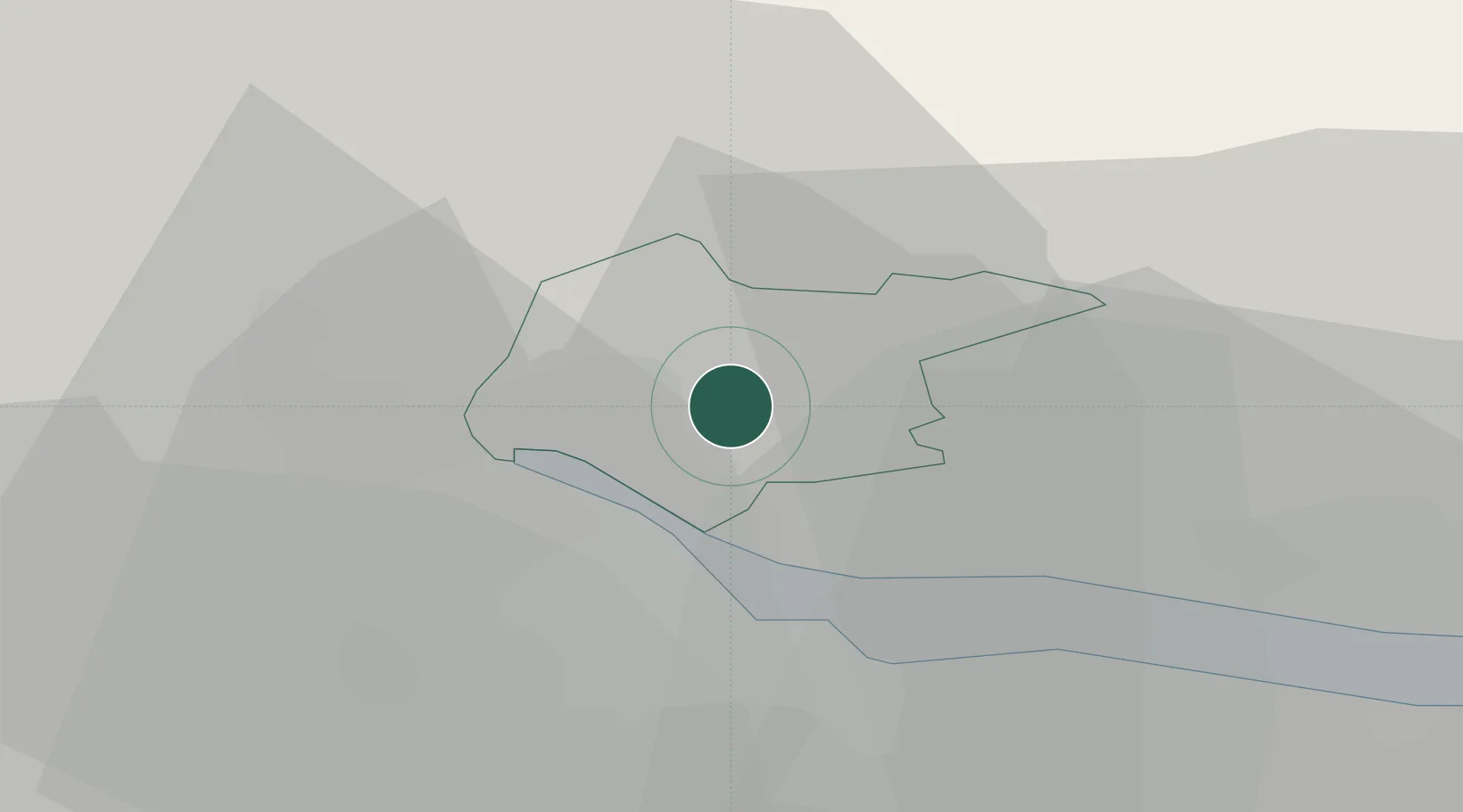
Place type
Populated place
Region
Scotland
Time zone
Europe/London
Elevation
25 m
Location
Nearby Logistics Neighbours
Cities
- 1Alloa4 km
- 2Kincardine8 km
- 3Cowie10 km
- 4Bannockburn11 km
- 5Culross12 km
Ports
- 1Grangemouth13 km
- 2Rosyth23 km
- 3Hound Point Terminal27 km
- 4Braefoot Bay Terminal28 km
- 5Burntisland32 km
Airports
- 1Edinburgh Airport30 km
- 2Glasgow Airport52 km
- 3Dundee Airport56 km
- 4Leuchars Station Airfield60 km
- 5Glasgow Prestwick Airport88 km
Trade Zones
DatabookThe Record of Consolidated Knowledge
United Kingdom beyond logistics?