Transport Functions
Multimodal
Hub Profile
Place type
Populated place
Region
England
Time zone
Europe/London
Elevation
59 m
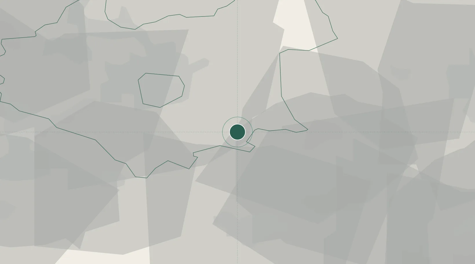
Location
Nearby Logistics Neighbours
Cities
- 1Eaton Bray8 km
- 2Tilton on the Hill15 km
- 3Uppingham16 km
- 4Gretton17 km
- 5Aylestone19 km
Ports
- 1Wisbech74 km
- 2Boston80 km
- 3King's Lynn93 km
- 4London125 km
- 5Grimsby133 km
Airports
- 1RAF Wittering32 km
- 2Coventry Airport41 km
- 3East Midlands Airport46 km
- 4Nottingham City Airport48 km
- 5Cranfield Airport52 km
Trade Zones
DatabookThe Record of Consolidated Knowledge
United Kingdom beyond logistics?