UN/LOCODE hub · United Kingdom
GBXET
Eaton Bray
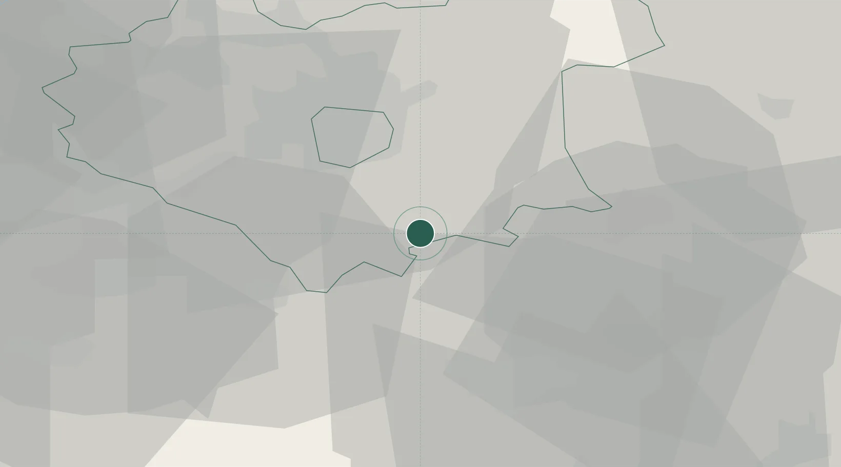
52.4667°, -1.0167°
3,912
Population
1
Transport functions
Transport Functions
Multimodal
Hub Profile
Place type
Populated place
Region
England
Population
3,912
Time zone
Europe/London
Elevation
102 m
Location
Nearby Logistics Neighbours
Cities
- 1Caldecott8 km
- 2Hethel16 km
- 3Aylestone17 km
- 4Stoney Stanton19 km
- 5Watford20 km
Ports
- 1Wisbech82 km
- 2Boston87 km
- 3King's Lynn101 km
- 4London125 km
- 5Sharpness130 km
Airports
- 1Coventry Airport33 km
- 2RAF Wittering40 km
- 3East Midlands Airport46 km
- 4Birmingham Airport50 km
- 5Nottingham City Airport51 km
Trade Zones
DatabookThe Record of Consolidated Knowledge
United Kingdom beyond logistics?