Medium airport · United Kingdom

Cranfield AirportEGTC
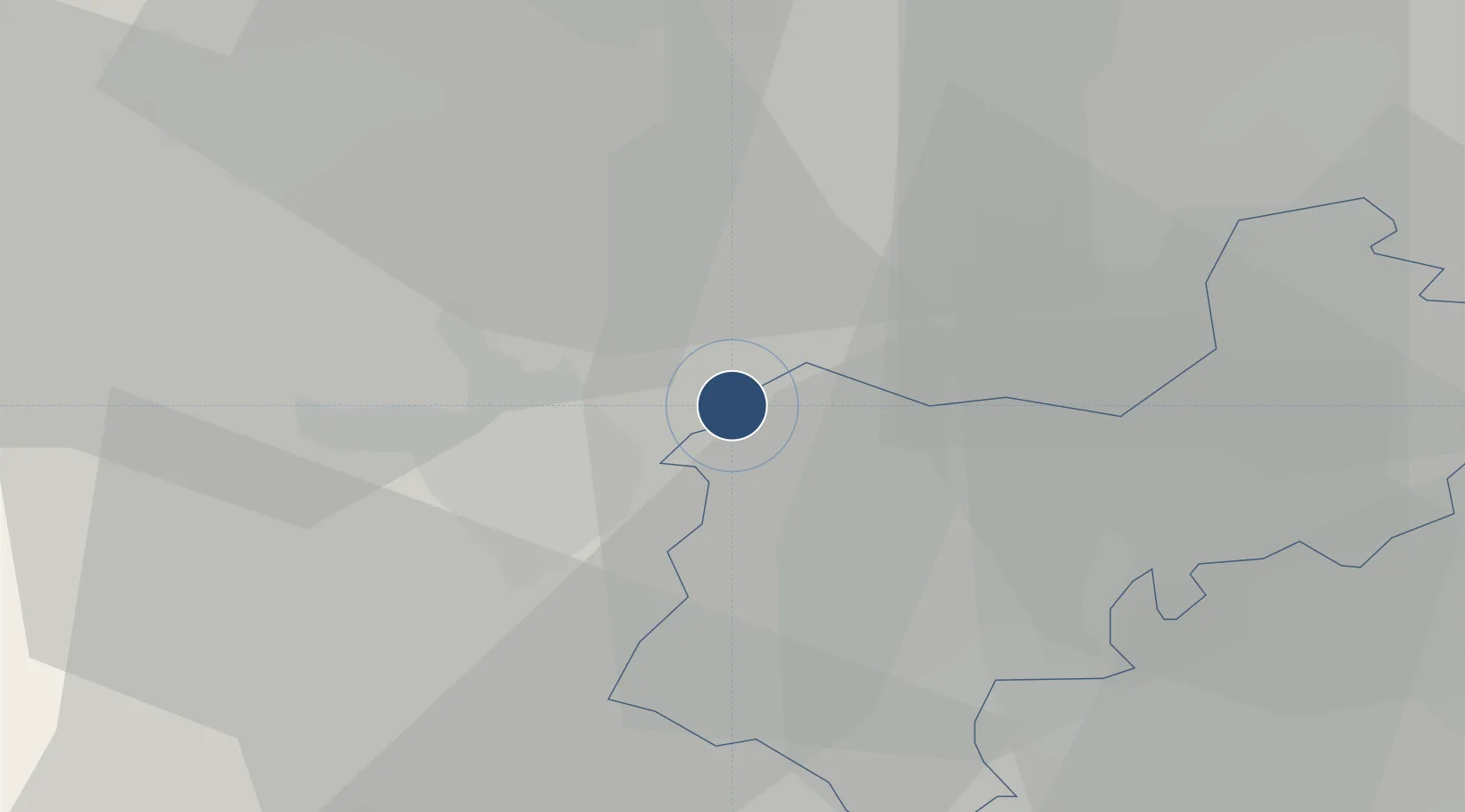
52.0722°, -0.6167°
5,902 ft
Longest runway
1
Runways
360 ft
Elevation

Runway & Layout

Cranfield Airport runway & taxiway layout
Runway & taxiway layout — OpenStreetMap (ODbL) / OurAirports

Radio Frequencies

ATIS
121.875 MHz
TWR
122.85 MHz
TWR
134.925 MHz
APP
122.85 MHz
OurAirports

Navaids

CFD VOR Cranfield 116.50 MHz
OurAirports

Runways · 1

RunwayDimensions SurfaceTrue headingLit
03/21 5,902 × 148ft Asphalt 032°
OurAirports

Airport Specifications

ICAO code
EGTC
OurAirports
Airport class
Medium airport
OurAirports
Scheduled service
No
OurAirports
Runway surface
Asphalt
OurAirports
Served city
Cranfield, Central Bedfordshire
OurAirports

Location

Location of EGTC
Natural Earth 10m (public domain) · Central Bedfordshire · EGTC · 52.07, -0.62GoogleOSMYandex

Nearby Logistics Neighbours

Airports
  1. 1London Luton Airport28 km
  2. 2London Oxford Airport55 km
  3. 3Cambridge City Airport56 km
  4. 4RAF Northolt59 km
  5. 5RAF Benson61 km
Nearest neighbours — logibook spatial index (haversine) over the source coordinates
Cities
  1. 1Marston Moretaine5 km
  2. 2Kempston10 km
  3. 3Wilstead13 km
  4. 4Pavenham13 km
  5. 5Cardington15 km
Nearest neighbours — logibook spatial index (haversine) over the source coordinates
Ports
  1. 1London73 km
  2. 2Wisbech84 km
  3. 3Tilbury94 km
  4. 4Gravesend97 km
  5. 5King's Lynn102 km
Nearest neighbours — logibook spatial index (haversine) over the source coordinates
Trade Zones
  1. 1Enviro-Tech Hertfordshire Enterprise Zone26 km
  2. 2Northampton Waterside Enterprise Zone26 km
  3. 3Aylesbury Vale32 km
  4. 4Alconbury Weald Enterprise Zone42 km
  5. 5Cambridge Compass Enterprise Zone59 km
Nearest neighbours — logibook spatial index (haversine) over the source coordinates
DatabookThe Record of Consolidated Knowledge
United Kingdom beyond logistics?
Browse databook

All Sources

AirportsOurAirports
Public domain
Portsthe NGA World Port Index
Public domain (US gov)
LocationsUN/LOCODE
UN/LOCODE — free
Trade Zonesthe World Bank SEZ database
CC BY 4.0
Trade ZonesOpen Zone Map
CC BY
InfrastructureOpenStreetMap
ODbL 1.0
← United Kingdom airports