UN/LOCODE hub · United Kingdom
GBAYT
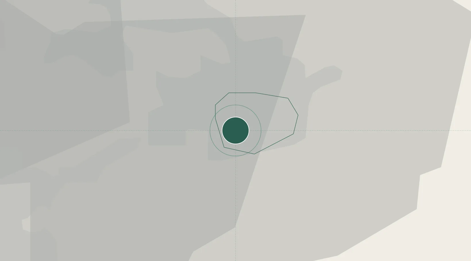
Aylestone
52.6000°, -1.1500°
11,151
Population
1
Transport functions
Transport Functions
Multimodal
Hub Profile
Place type
Populated place
Region
England
Population
11,151
Time zone
Europe/London
Elevation
72 m
Location
Nearby Logistics Neighbours
Cities
- 1Hethel7 km
- 2Leicester7 km
- 3Birstall8 km
- 4Stoney Stanton11 km
- 5Markfield12 km
Ports
- 1Boston86 km
- 2Wisbech88 km
- 3King's Lynn106 km
- 4Manchester123 km
- 5Goole124 km
Airports
- 1East Midlands Airport28 km
- 2Coventry Airport34 km
- 3Nottingham City Airport36 km
- 4Birmingham Airport44 km
- 5RAF Wittering46 km
DatabookThe Record of Consolidated Knowledge
United Kingdom beyond logistics?