Transport Functions
Port
Road
Hub Profile
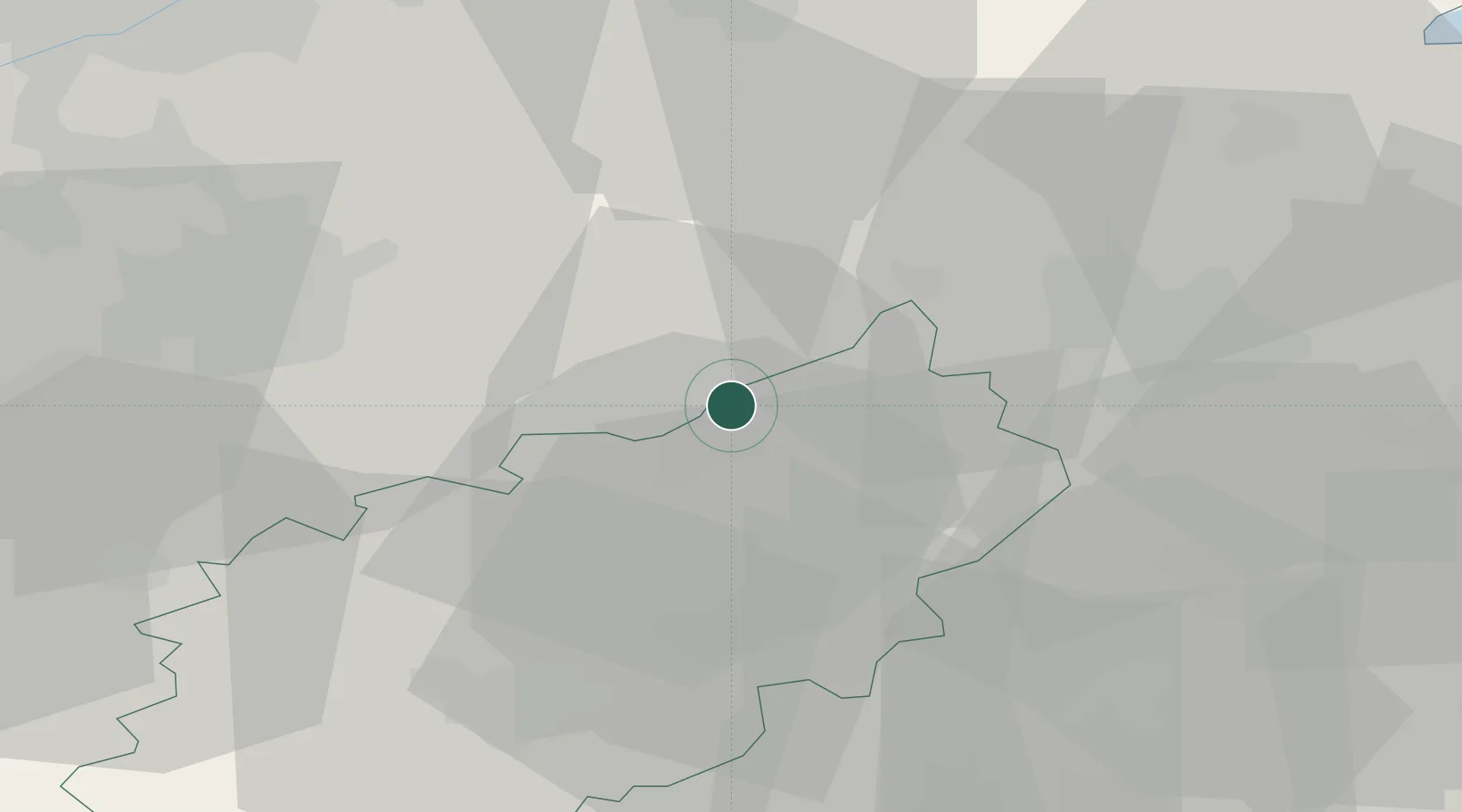
Place type
Populated place
Region
England
Time zone
Europe/London
Elevation
115 m
Location
Nearby Logistics Neighbours
Cities
- 1Uppingham7 km
- 2Sudborough15 km
- 3Peters Green15 km
- 4Wansford17 km
- 5Caldecott17 km
Ports
- 1Wisbech57 km
- 2Boston65 km
- 3King's Lynn76 km
- 4London122 km
- 5Grimsby123 km
Airports
- 1RAF Wittering16 km
- 2RAF Barkston Heath48 km
- 3Nottingham City Airport51 km
- 4Cranfield Airport51 km
- 5East Midlands Airport56 km
Trade Zones
DatabookThe Record of Consolidated Knowledge
United Kingdom beyond logistics?