UN/LOCODE hub · United Kingdom
GBLBI
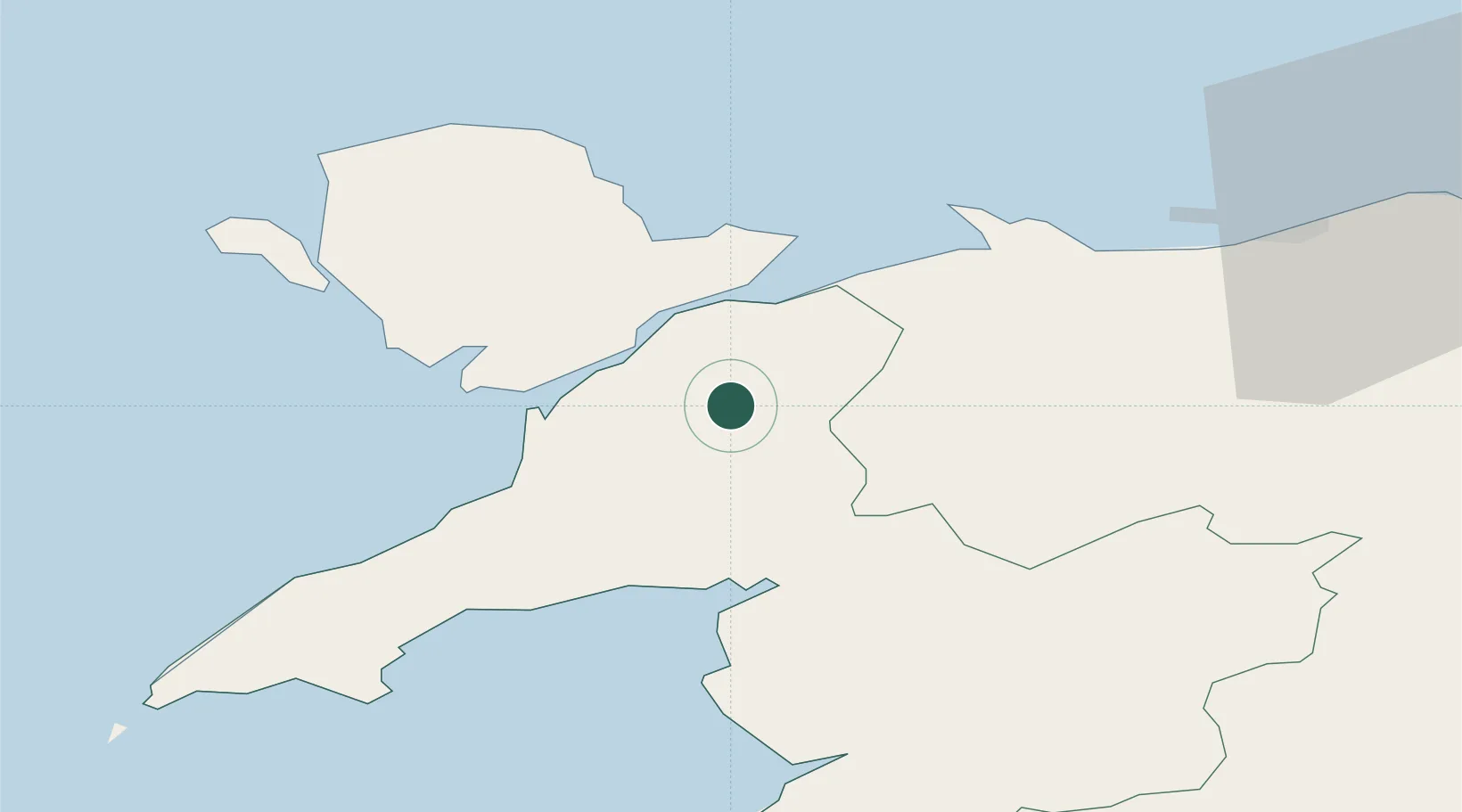
Llanberis
53.1167°, -4.1167°
1,844
Population
2
Transport functions
Transport Functions
Road
Multimodal
Hub Profile
Place type
District seat
Region
Wales
Population
1,844
Time zone
Europe/London
Elevation
128 m
Location
Nearby Logistics Neighbours
Cities
- 1Brynsiencyn11 km
- 2Gaerwen14 km
- 3Pentraeth18 km
- 4Llangefni19 km
- 5Dolgarrog20 km
Ports
- 1Caernarvon11 km
- 2Holyhead41 km
- 3Liverpool Bay Terminal60 km
- 4Mostyn61 km
- 5Liverpool81 km
Airports
- 1Anglesey Airport32 km
- 2Hawarden Airport76 km
- 3Liverpool John Lennon Airport88 km
- 4Blackpool Airport103 km
- 5RAF Shawbury103 km
Trade Zones
DatabookThe Record of Consolidated Knowledge
United Kingdom beyond logistics?