UN/LOCODE hub · United Kingdom
GBSTK
Stockport
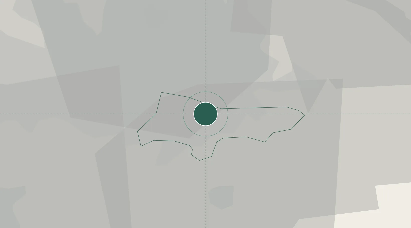
53.4000°, -2.1500°
139,052
Population
2
Transport functions
Transport Functions
Rail
Road
Hub Profile
Place type
Provincial seat
Region
England
Population
139,052
Time zone
Europe/London
Elevation
59 m
Location
Nearby Logistics Neighbours
Cities
- 1Great Longstone1 km
- 2Reddish4 km
- 3Bramhall4 km
- 4Cheadle Hulme4 km
- 5Marple6 km
Ports
- 1Manchester12 km
- 2Garlston50 km
- 3Liverpool56 km
- 4Mostyn75 km
- 5Fleetwood81 km
Airports
- 1Manchester Airport10 km
- 2Liverpool John Lennon Airport47 km
- 3Hawarden Airport60 km
- 4Leeds Bradford Airport61 km
- 5Warton Aerodrome62 km
DatabookThe Record of Consolidated Knowledge
United Kingdom beyond logistics?